 Noordoostpolder
 straddles a network of drainage canals in Flevoland, whose control turned former Zuiderzee seabed into a rigorously planned farming landscape. Drained in 1942, the polder is defined by long straight roads, broad fields and shelterbelts, with Emmeloord designed as its central town. The former island of Schokland, preserved within the polder, is a UNESCO World Heritage Site; its archaeology records centuries of life on a vulnerable island before reclamation transformed the surrounding water into land. The rural airfield used by Zweefvliegclub Noordoostpolder belongs to this open, engineered setting, where gliding and agriculture share the flat expanse.
Generated by AI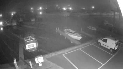
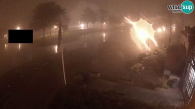
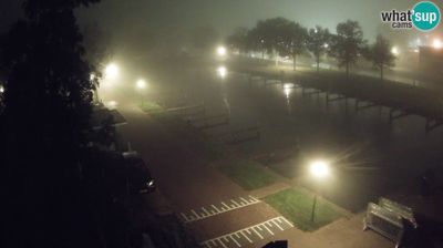
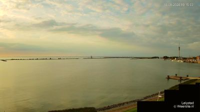



Noordoostpolder occupies a broad tract of reclaimed land on Flevoland’s northeastern side, between the IJsselmeer and the old Zuiderzee shoreline. Drained in 1942 as part of the Zuiderzee Works, it was laid out with Emmeloord as its central town and a network of planned villages, straight roads and farms. The former island of Schokland, now surrounded by fields, preserves the area’s earlier relationship with water and is a UNESCO World Heritage Site. At the polder’s edge, Urk retains the character of a former fishing island, while the wide open terrain underscores the scale of Dutch engineering. Explore nearby webcam locations that provide complementary perspectives on Noordoostpolder and Flevoland.
1 webcam
Flevoland is best known within the Netherlands for its vast reclaimed polders, formed through the twentieth-century Zuiderzee Works. The country’s youngest province stands on land once covered by the Zuiderzee, with orderly fields, straight drainage canals and planned cities giving it a distinctly engineered character. Lelystad, the provincial capital, reflects the scale of this national project, while Almere has developed into one of the Netherlands’ largest planned urban centres. The Markermeer borders Flevoland to the west, and the Oostvaardersplassen wetland is part of Nieuw Land National Park. Find related webcams in the surrounding area to build a fuller picture of Flevoland.
3 webcams
Among the countries of northwestern Europe, the Netherlands stands out for its carefully managed lowlands in the Rhine–Meuse–Scheldt delta. Much of the country lies low in relation to the sea, and dikes, dunes, pumps and polders are integral to its everyday geography. The North Sea coast ranges from broad beaches to the Wadden Sea, a tidal area shared with Germany and Denmark. Amsterdam’s 17th-century canal ring recalls an era when Dutch trade connected the republic with ports around the world. Beyond the capital, bicycles, dairy farming, bulb fields and compact historic cities give the country a distinct rhythm. Rotterdam’s port and the Delta Works show how maritime commerce and water engineering remain central. View additional webcams nearby to better understand how the Rhine–Meuse–Scheldt delta relates to its North Sea surroundings.
132 webcams