 Sukoharjo
Built around a road junction, Sukoharjo grew into the administrative centre of Sukoharjo Regency in Central Java. The town forms part of the urban belt south of Surakarta, where arterial roads, shops and public services connect a densely settled plain. Its Proliman intersection is marked by a red-and-white civic monument, referring to Indonesia’s national colours and serving as a familiar point of orientation. Beyond the built-up streets, the wider regency extends across lowland agricultural country shaped by the Bengawan Solo, Java’s longest river. Sukoharjo Regency was established in 1946, shortly after Indonesian independence, and its town remains a practical civic and commercial focus for surrounding communities.
Generated by AI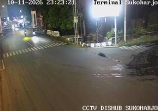
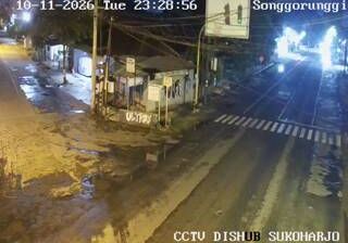



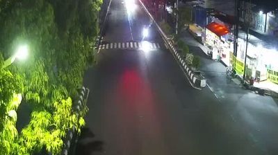


Among the cities of Central Java, Sukoharjo stands out for its role as the administrative centre of a regency on the southeastern side of Surakarta. The town lies in the lowlands of the Bengawan Solo river basin, where settled neighbourhoods, rice-growing land and local roads connect it with the larger Solo urban area. Its setting gives a sense of everyday life beyond Surakarta’s central districts. Javanese cultural life nearby is strongly influenced by Surakarta, home to the Kasunanan Surakarta and Mangkunegaran royal courts. Sukoharjo is closely linked to a region where court traditions, batik and gamelan remain important reference points. View additional webcams nearby to better understand how Sukoharjo relates to the Bengawan Solo basin and Surakarta.
3 webcams
Built around fertile volcanic plains, river basins and ports on the Java Sea, Central Java grew into one of Indonesia’s principal cultural and administrative regions. Its northern coast faces the Java Sea, while the interior rises toward the Dieng Plateau and the volcanic landscapes around Mount Merapi. Semarang, the provincial capital, links the coast to inland towns; its Kota Lama preserves a concentrated quarter of Dutch colonial-era architecture. Near Magelang, the ninth-century Buddhist monument of Borobudur remains the province’s best-known historic site. Javanese court traditions, batik and gamelan are still important parts of regional identity. Move on to other webcams in the region to compare coastal, urban and highland settings around Central Java.
14 webcams
Indonesia has served as a maritime crossroads between the Indian and Pacific oceans since the early centuries of international trade. Its vast archipelago stretches across the equator, linking the volcanoes and rice-growing plains of Java with the rainforests of Borneo and the coral-fringed islands of eastern Indonesia. Java is home to Borobudur, a ninth-century Buddhist temple complex and UNESCO World Heritage Site, while Bali’s Hindu traditions shape daily ceremonies and temple life. Bahasa Indonesia provides a shared national language alongside hundreds of local languages. The Java Sea, Banda Sea and busy straits have long connected islands, ports and cuisines. Browse other webcams across Indonesia’s islands to place this setting in a wider geographic context.
587 webcams