 Breckenridge: Colorado 9
The landscape around Breckenridge is a high, forested Rocky Mountain valley, which has shaped both the built environment and local life. Colorado State Highway 9 follows the Blue River through Summit County and provides Breckenridge’s principal road connection north toward Frisco and south toward Fairplay. The town developed during the gold rush of 1859, and its historic Main Street retains numerous buildings from the mining era. Breckenridge Ski Resort extends across slopes west of town in the Tenmile Range, while the valley floor accommodates housing, services and the road corridor. This former mining settlement has become one of Colorado’s best-known mountain towns while remaining closely tied to its river valley and surrounding conifer forest.
Generated by AI
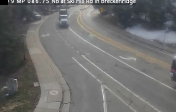
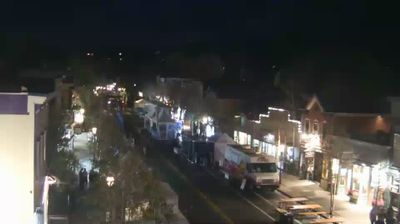

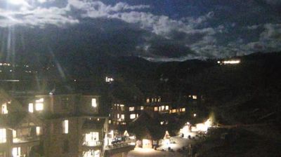

Built around the gold placers that drew prospectors in 1859, Breckenridge grew into a year-round mountain town in Colorado’s Summit County. At about 9,600 feet above sea level, it follows the Blue River beneath the Tenmile Range, with forested slopes rising directly beyond its streets. Mining-era buildings give Main Street a distinct Victorian character, recalling the town’s role in the Pike’s Peak Gold Rush. Breckenridge Ski Resort, opened in 1961, later established the town as a major Rocky Mountain winter destination, while summer brings hiking, cycling and river-side walks. Find related webcams in the surrounding area to build a fuller picture of Summit County and the Colorado Rockies.
17 webcams
Among the states of the United States, Colorado stands out for the high Rocky Mountain country running through its centre. Around this part of the state, forested slopes, open basins and granite outcrops form the interior landscape of the Rockies, where conditions can change rapidly with the season. The Continental Divide crosses Colorado, separating waters that flow toward the Pacific from those bound for the Atlantic and Gulf coasts. The Arkansas River rises in the central Rockies and is one of the state’s major waterways. Admitted to the Union in 1876, Colorado is still known as the Centennial State. See how central Colorado connects with the wider Rocky Mountain region by browsing webcams nearby.
214 webcams
The Atlantic, Pacific and Gulf coasts define much of the United States — their ports, fisheries and trade routes have long tied the country’s economy to the wider world. Between them, the Rocky Mountains, Great Plains and Mississippi River basin form sharply different regions, from high western ranges to broad agricultural heartlands. Cities carry much of the national story: New York’s Statue of Liberty, a gift from France dedicated in 1886, remains an enduring symbol, while Washington, DC concentrates major federal institutions. Indigenous nations have shaped these lands for millennia, and their living cultures remain essential to the country’s identity. Find related webcams in the surrounding areas to build a fuller picture of the United States.
32K webcams