 Port Pūponga: Cape Farewell
The landscape around Port Puponga is a low-lying coastal margin below the hills of north-west Tasman, which has shaped both the built environment and local life. This small settlement lies on Golden Bay, close to the base of Farewell Spit/Onetahua, a long sandspit between Golden Bay and the Tasman Sea. The surrounding coast includes tidal flats and wetlands used by shorebirds; Farewell Spit is internationally recognised as a wetland of importance. Nearby Puponga Farm Park retains the pastoral character of the area and reflects its farming past. Wharariki Beach and the headlands around Cape Farewell add to the sense of a remote coast at the far north of the South Island. Port Puponga is a useful point of orientation for exploring Golden Bay’s less developed shoreline.
Generated by AI
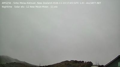



Tucked along the western edge of Golden Bay, Port Puponga is a place whose character is shaped by the winds, tides and broad sands of Farewell Spit. This narrow sand spit forms the bay’s northern limit and is internationally important for migratory shorebirds, giving the area a strong sense of seasonal movement. The settlement lies beside Puponga Farm Park, where walking tracks cross former farmland and coastal terrain. Port Puponga also recalls the region’s coal-mining past: a small harbour here once served local workings. Explore nearby webcam locations that provide complementary perspectives on Golden Bay and Farewell Spit.
5 webcams
Tasman is best known within New Zealand for Abel Tasman National Park, where the northern coast of the South Island meets Tasman Bay/Te Tai-o-Aorere. The district reaches from the sheltered bays around Motueka and Golden Bay/Mohua to the forested ranges of Kahurangi National Park, creating a marked shift from tidal shorelines to rugged inland country. Abel Tasman’s 1642 voyage gave the area its European name, while Māori names including Mohua remain central to local identity. Walking, sea kayaking and fruit growing are woven into everyday life, and the Heaphy Track links Golden Bay with the West Coast through Kahurangi. Browse other webcams across Tasman and the South Island to place this setting in a wider geographic context.
16 webcams
New Zealand combines Pacific isolation with strong ties to the wider South Pacific in a way that reflects its position between the Tasman Sea and the open Pacific Ocean. The country’s two main islands are divided by Cook Strait, while the Southern Alps run along much of the South Island and include Aoraki / Mount Cook, its highest mountain. On the North Island, volcanic terrain shapes Tongariro National Park and the central plateau; long coastlines frame cities such as Auckland and Wellington. Māori culture is central to national life, and the Treaty of Waitangi, first signed in 1840, remains a foundational document in relations between Māori and the Crown. See how New Zealand fits within the wider South Pacific by browsing webcams nearby.
448 webcams