 Tijuana: San Ysidro Border Crossing
The Pacific coast defines the setting of Tijuana — a Mexican border metropolis whose western edge meets the ocean and whose northern limit meets California. San Ysidro Border Crossing links Tijuana with San Diego through a major land port of entry, handling the daily movement that makes this frontier a working part of the wider cross-border region. Opened in 1913, the port has expanded repeatedly as the two cities grew into a closely connected urban area. The surrounding streets are shaped by international commerce, commuting and family ties. Tijuana is also associated with the Caesar salad, created at Caesar’s restaurant in the city in 1924.
Generated by AI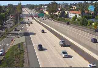






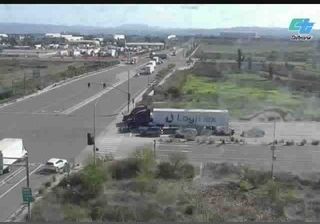

Built around a crossing on Mexico’s northern frontier, Tijuana grew into Baja California’s largest city and a major part of the binational San Diego–Tijuana metropolitan area. The Tijuana River runs north through the city toward its Pacific estuary, while the Pacific coast lies just west of the urban core. Avenida Revolución, long the city’s best-known central thoroughfare, recalls Tijuana’s rise as a border destination in the 20th century. The Centro Cultural Tijuana, recognizable for its spherical IMAX building, hosts exhibitions, performances and museum displays. Its food scene is especially associated with Baja Med cooking, shaped by Mexican, Mediterranean and Asian influences. Explore nearby webcam locations that provide complementary perspectives on Tijuana and Baja California.
1 webcam
Baja California stretches from the United States border to the 28th parallel north, encompassing the arid northern half of the peninsula between the Pacific Ocean and the Gulf of California. Its terrain shifts from coastal plains and desert basins to the Sierra de San Pedro Mártir, where protected mountain country contrasts sharply with the dry interior. Tijuana and Mexicali anchor the state’s busy border economy, while Ensenada is a major Pacific port. Near Ensenada, the Valle de Guadalupe is Mexico’s best-known wine-producing area, and colonial-era mission sites recall the peninsula’s earlier settlement history. Browse related webcams across the peninsula to build a broader picture of Baja California.
8 webcams
Mexico is best known internationally for its ancient Maya and Aztec heritage. Its territory stretches between the Pacific Ocean, the Gulf of Mexico and the Caribbean Sea, with the Sierra Madre ranges shaping much of the country’s terrain. Chichén Itzá on the Yucatán Peninsula remains one of the most recognized Maya archaeological sites, while Mexico City stands on the site of Tenochtitlan, the former Aztec capital. Traditional Mexican cuisine, recognized by UNESCO, reflects regional ingredients such as maize, beans, chile and cacao. Move on to other webcams in the region to compare landscapes and settings around Mexico.
46 webcams