 Burnt Pine: Norfolk Island International Airport
The landscape around Norfolk Island International Airport is an open volcanic plateau framed by Norfolk pines, which has shaped both the built environment and local life. The airport stands near Burnt Pine, the island’s main commercial centre, on Norfolk Island in the South Pacific Ocean. Its runway and terminal provide a vital air connection for a small Australian territory whose remoteness has long made transport links decisive. Araucaria heterophylla, commonly called the Norfolk Island pine, is native here and remains a defining feature of the settlement pattern. South of the airport, the Kingston and Arthur’s Vale Historic Area preserves major archaeological evidence of the island’s colonial and convict past and is inscribed on UNESCO’s World Heritage List.
Generated by AI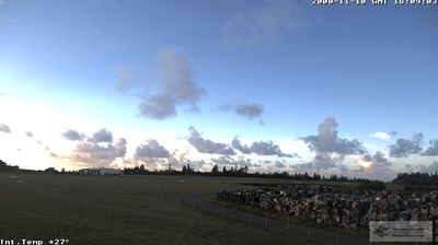

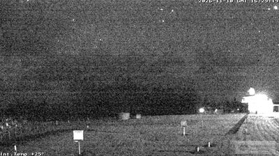
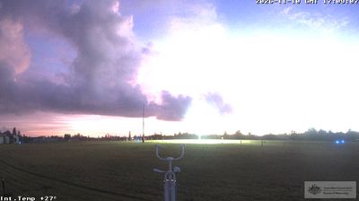

Burnt Pine lies on Norfolk Island’s central plateau above the island’s southern coast, where volcanic terrain slopes towards the Pacific Ocean and Norfolk Island pines mark the skyline. It is the island’s principal shopping and service centre, with small businesses, cafés and community facilities concentrated along Taylors Road. A short journey south leads to the Kingston and Arthur’s Vale Historic Area, a UNESCO World Heritage-listed convict settlement whose buildings and ruins document the island’s penal-colony era. Norfolk Island also carries the legacy of Pitcairn Islanders, who resettled here in 1856 and brought their Norf’k language and traditions. Find related webcams around Norfolk Island to build a fuller picture of this South Pacific island.
5 webcams
The terrain of Norfolk Island ranges from rolling farmland across its centre to steep coastal cliffs around much of its shoreline, giving the island a compact but varied profile. This Australian external territory lies in the Pacific Ocean, where the endemic Norfolk Island pine has become its unmistakable silhouette. Mount Bates, the island’s highest point, rises within Norfolk Island National Park, whose forests preserve much of the interior. On the south coast, Kingston and Arthur’s Vale Historic Area forms part of the UNESCO-listed Australian Convict Sites, recalling the island’s penal-settlement eras. Explore nearby webcam locations that provide complementary perspectives on Norfolk Island’s Pacific coast.
5 webcams
Australia’s terrain extends from tropical rainforests in the northeast to arid plains in the interior, producing dramatic climatic contrasts. The Great Dividing Range follows much of the eastern coast, while the Great Barrier Reef lies off Queensland in the Coral Sea and Uluru rises from the central desert. Aboriginal and Torres Strait Islander peoples maintain living cultures whose connections to Country long predate European settlement. In Sydney, the sail-like Opera House, completed in 1973, stands beside one of the world’s best-known harbours. Discover further points of interest through webcams located across Australia.
1.7K webcams