 Sai Kung: Sai Kung Marine Police Base
Port Shelter defines the setting of Sai Kung Marine Police Base — this protected stretch of water divides into island-lined channels between the Sai Kung Peninsula and the South China Sea. Sai Kung developed from coastal fishing and farming settlements, and its waterfront remains closely associated with fishing boats, public piers and seafood restaurants. The base forms part of Hong Kong’s working maritime infrastructure, while low islands and wooded shores shape the approaches by water. Beyond the town, the Sai Kung Peninsula contains extensive country-park land, and its volcanic rock landscapes form part of the Hong Kong UNESCO Global Geopark. Maritime services and rugged coastal terrain give this district a character distinct from Hong Kong’s dense urban core.
Generated by AI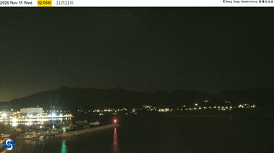
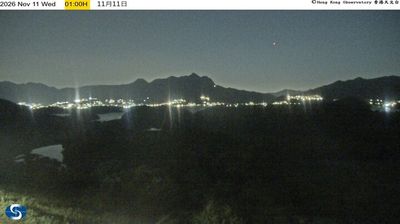




Few places in Hong Kong have a history as closely tied to fishing as Sai Kung. Set beside Sai Kung Hoi and Port Shelter, the town developed around a sheltered harbour and still has a working waterfront, seafood restaurants and boats serving nearby islands. Beyond the town, the Sai Kung Peninsula leads into the Hong Kong UNESCO Global Geopark, where High Island's coast exposes hexagonal volcanic rock columns. Yim Tin Tsai in Sai Kung Hoi preserves salt pans and St Joseph’s Chapel, reminders of its former Hakka settlement. Find related webcams around the Sai Kung Peninsula to build a fuller picture of eastern Hong Kong.
1 webcam
Among the regions of China, Hong Kong stands out for its dense harbourfront skyline set between steep green hills and the South China Sea. Victoria Harbour separates Hong Kong Island from Kowloon and remains the city’s defining waterway, busy with ferries, working vessels and the Star Ferry route. Beyond the commercial core, country parks cover large areas of the territory, while Lantau Island is home to the Tian Tan Buddha and the Po Lin Monastery. A former British colony until 1997, Hong Kong retains a distinctive mix of Cantonese traditions and international urban life. Continue through nearby webcams to explore different parts of Hong Kong.
172 webcams
Built around the Yellow River and Yangtze basins, China grew into a vast modern state with landscapes that run from the Tibetan Plateau and the Himalayas to the Gobi Desert and the shores of the South China Sea. The Yangtze, Asia’s longest river, crosses the country west to east, linking mountain regions with major cities and fertile plains. Beijing’s Forbidden City, the former imperial palace of the Ming and Qing dynasties, remains a defining monument of its long imperial era. The Great Wall follows northern terrain in many separate sections, while regional cuisines, tea traditions and festivals reveal striking local variety. Explore other places across China’s regions to put this setting in a broader geographic context.
190 webcams