 Hradec Kralove: Hradec Králové - Gymnazium J. K. Tyla

Built around a fortified settlement above the confluence of the Elbe and Orlice, Hradec Králové grew into eastern Bohemia’s regional centre. Its old town occupies a raised site between the rivers, with a dense sequence of historic houses, churches and civic buildings. From 1307 until 1620, it was a dowry town of Czech queens, a status reflected in its name, “the Queen’s Castle”. The city was reshaped after its fortress walls were removed in the 19th century; architect Josef Gočár later helped form its distinctive modern urban plan. The Museum of Eastern Bohemia, designed by Jan Kotěra, is among the key landmarks of Czech modern architecture. Together, the medieval core and planned 20th-century districts give Hradec Králové an unusually coherent character.
Generated by AI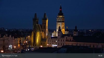
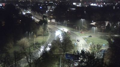
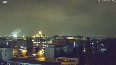
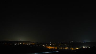


The confluence of the Elbe and Orlice defines the setting of Hradec Králové — the rivers create green corridors that reach close to the centre and frame its historic core. That core stands on the ground between the two waterways, marked by the Gothic Cathedral of the Holy Spirit and the Renaissance White Tower. A royal dowry town of Czech queens for centuries, Hradec Králové was reshaped in the early 20th century by architects Jan Kotěra and Josef Gočár. Their influential civic buildings and planning earned it the nickname “Salon of the Republic.” Browse additional webcams from the surrounding area to extend your view of Hradec Králové and the Hradec Králové Region.
8 webcams
The Krkonoše Mountains and the upper Elbe define much of Královéhradecký kraj - mountain resorts and winter sports have long supported its tourism economy. On the Polish border, Sněžka reaches 1,603 metres, making it Czechia’s highest mountain, and stands within Krkonoše National Park. The Elbe rises in these mountains before flowing through the region’s lower country. Hradec Králové, the regional capital, combines a historic core with notable early-20th-century architecture linked to Josef Gočár and Jan Kotěra. Farther east, the sandstone formations of the Adršpach–Teplice Rocks introduce a sharply different terrain. View additional webcams nearby to better understand how Královéhradecký kraj connects its mountain borderlands with the Elbe lowlands.
137 webcams
The terrain of Czechia ranges from fertile lowlands in southern Moravia to mountain ridges along the northern frontier, giving this Central European country a distinctly varied geography. The Vltava runs through Prague before joining the Elbe, while the Krkonoše form part of the border with Poland and include Sněžka, Czechia’s highest mountain. Prague’s historic centre, with Prague Castle and Charles Bridge, reflects the city’s long role as a political and cultural centre. Beyond the capital, Bohemia is known for spa towns and brewing, and Moravia for wine-growing traditions. View additional webcams nearby to better understand how Czechia relates to its Central European surroundings.
1.4K webcams