 Loski Potok: R3-653, Hrib - Trava - Podplanina, Hrib
The landscape around Loški Potok is a forested karst upland in Slovenia’s Dinaric Alps, which has shaped both the built environment and local life. Hrib, the municipal centre, is a compact roadside settlement set among extensive woodland and small clearings rather than an urban centre. The Loški Potok area lies in Slovenia’s south-central interior, where settlements are dispersed across undulating limestone terrain. Saint Leonard’s parish church in Hrib is a local religious landmark. Everyday village streets, homes, small plots and forest margins define the character of this part of rural Slovenia more than major tourist attractions.
Generated by AI
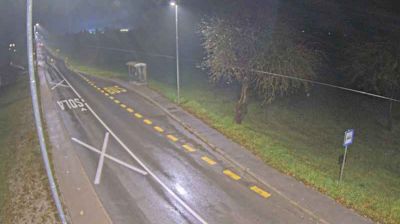
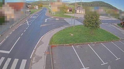
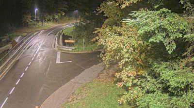





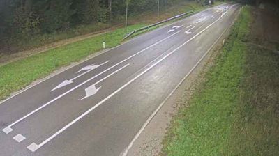

Loški Potok occupies a wooded karst plateau in southern Slovenia, near the Croatian border. This sparsely settled municipality belongs to the historical region of Lower Carniola and forms part of the Dinaric karst belt, where forests, enclosed basins and sinkholes shape the terrain. Hrib is the municipal centre, while small hamlets are dispersed across the upland, preserving a distinctly rural rhythm. The area stands apart from Slovenia’s Alpine and Adriatic routes, representing the quieter, forested character of the country’s southern interior. View additional webcams nearby to see how Loški Potok’s karst uplands relate to Slovenia’s southern borderlands.
1 webcam
Slovenia occupies a meeting point of the Alps, the Pannonian Plain, the Dinaric mountains and the Adriatic coast in south-central Europe. The Julian Alps rise in the northwest, where Triglav is the country’s highest mountain, while the Soča River is known for its clear turquoise water. Karst terrain has shaped caves such as Postojna Cave and the Škocjan Caves, a UNESCO World Heritage site. Ljubljana combines a riverside old town with works by architect Jože Plečnik; farther east, wine-growing regions and thermal springs add another dimension. Slovenian food reflects Alpine, Mediterranean and Balkan influences. Find related webcams in the surrounding area to build a fuller picture of Slovenia and the northern Adriatic.
783 webcams