 Salem: Lancaster and Center
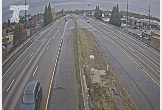
Tucked into the Willamette Valley, Salem is a place whose character is shaped by the Willamette River and Oregon’s broad agricultural lowlands. Oregon’s capital spreads largely across the river’s east bank, while the wooded foothills of the Cascade Range begin farther east. The Oregon State Capitol, completed in 1938 after its predecessor was destroyed by fire, anchors the civic center with its tall central tower. East Salem, including the Lancaster Drive and Center Street area, has a more urban and commercial character than the riverside downtown. Salem is also closely tied to the farms, orchards and nurseries of the Willamette Valley, a productive landscape with an important role in the Pacific Northwest.
Generated by AI
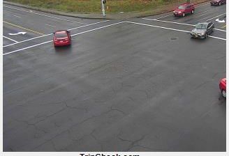
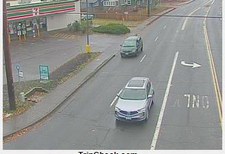
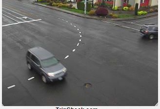

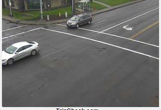

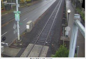

Salem is best known in Oregon for serving as the state capital and housing the Oregon State Capitol. Set in the Willamette Valley beside the Willamette River, the city combines government institutions with an agricultural region known for farms, vineyards and nurseries. The Art Deco Capitol, completed in 1938 and crowned by the gilded Oregon Pioneer, is Salem’s defining civic landmark. Downtown streets, Riverfront Park and the pedestrian Union Street Railroad Bridge connect the center to the riverbank. Salem also hosts the annual Oregon State Fair, a longstanding statewide tradition. Browse additional webcams from the surrounding Willamette Valley to extend your view of Salem.
22 webcams
The Cascade Range and high desert define much of Oregon, shaping a state where forestry, farming, hydropower and outdoor recreation are central to regional life. The Columbia River forms much of its northern border, while the Willamette Valley supports fertile farmland between the Cascades and the Coast Range. Oregon’s Pacific shore is marked by long beaches, headlands and working coastal towns, and Crater Lake preserves the deep caldera of Mount Mazama in the south. Oregon City is associated with the historic end of the Oregon Trail, a reminder of the migration that transformed the nineteenth-century American West. See how Oregon connects with the wider Pacific Northwest by browsing webcams nearby.
890 webcams
The Atlantic, Pacific and Gulf coasts define much of the United States — their ports, fisheries and trade routes have long tied the country’s economy to the wider world. Between them, the Rocky Mountains, Great Plains and Mississippi River basin form sharply different regions, from high western ranges to broad agricultural heartlands. Cities carry much of the national story: New York’s Statue of Liberty, a gift from France dedicated in 1886, remains an enduring symbol, while Washington, DC concentrates major federal institutions. Indigenous nations have shaped these lands for millennia, and their living cultures remain essential to the country’s identity. Find related webcams in the surrounding areas to build a fuller picture of the United States.
32K webcams