 Arvieux
The landscape around Arvieux is high Alpine terrain of larch woodland, grazing land and rugged slopes, which has shaped both the built environment and local life. This commune lies in the Queyras, close to the Italian border, within the Parc naturel régional du Queyras. Its scattered hamlets reflect a mountain-farming tradition and the seasonal use of higher pastures. The D902 runs through Arvieux towards the Col d’Izoard, a celebrated Tour de France climb linking the Queyras with Briançon. Quiet lanes, open grazing ground and conifer-covered hillsides give the area a markedly less urban character than larger Alpine resorts. Arvieux is also a practical base for walking and cycling in the surrounding mountains.
Generated by AI
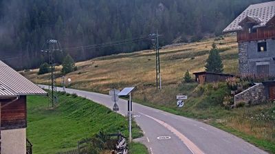
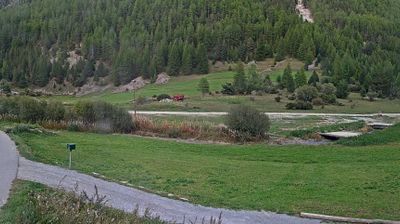
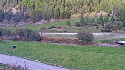

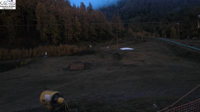
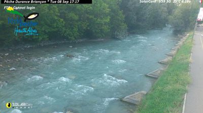
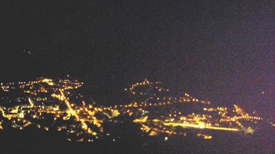

Arvieux straddles the Torrent d’Arvieux in the Queyras area of the French Alps, and its valley position has long made it a stopping point on the ascent toward the Col d’Izoard. The commune belongs to Queyras Regional Natural Park, a high-mountain territory of larch woodland, pastures and sharply rising slopes. From the hamlet of Brunissard, the road climbs to the 2,361-metre Izoard pass, linking Queyras with the Briançonnais; its upper section runs beneath the eroded rock pinnacles of the Casse Déserte. The pass is a familiar name in Tour de France history, giving Arvieux a distinct place in Alpine cycling culture. Browse other webcams across Queyras and Provence-Alpes-Côte d’Azur to place this setting in a wider geographic context.
2 webcams
Provence-Alpes-Côte d’Azur occupies France’s southeastern Mediterranean coast and Alpine borderlands. Its terrain runs from the Rhône delta and the Camargue wetlands to the limestone coves of the Calanques and the high valleys of the French Alps, while the Côte d’Azur forms its celebrated shoreline. Marseille, France’s oldest city, is a major port, and Avignon’s Palais des Papes recalls the 14th-century papal court. Inland, Provençal markets, olive cultivation and lavender-growing areas remain central to regional identity. Browse additional webcams nearby to see how Provence-Alpes-Côte d’Azur connects with the Mediterranean, the Alps and neighbouring Italy.
270 webcams
The Atlantic and Mediterranean coastlines, together with the Alps, Pyrenees and broad river basins, define much of France — they support maritime trade, farming, wine regions and travel throughout the year. The Seine runs through Paris, where the Eiffel Tower and the Louvre are among Europe’s most recognised landmarks. The Loire Valley is known for Renaissance châteaux, while Mont-Saint-Michel rises from a tidal bay in Normandy. Regional food traditions are equally distinctive, from Breton seafood to Provençal cooking, with bread, cheese and wine central to everyday life. France’s global cultural influence is evident in its language, literature, fashion and cinema. View additional webcams nearby to better understand how France’s coasts, plains and mountain borders relate to their surroundings.
2.2K webcams