 Oberlunkhofen
 has served as an agricultural settlement in Aargau’s Reuss Valley since the Middle Ages. The municipality stands in the Freiamt, the historic region of southeastern Aargau, where cultivated valley land meets low, wooded hills. The Reuss, one of Switzerland’s major rivers, runs through the broad valley east of the village before joining the Aare. Oberlunkhofen’s built-up centre is surrounded by farms, orchards and newer residential areas, illustrating the gradual shift of this rural district toward the Zurich metropolitan area. Yet the settlement remains closely tied to the working landscape of the valley, while its local identity is shaped by the villages and parish traditions of the Freiamt.
Generated by AI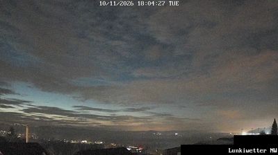
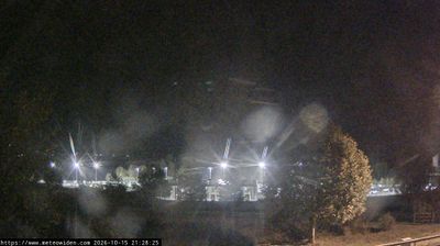
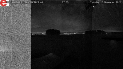
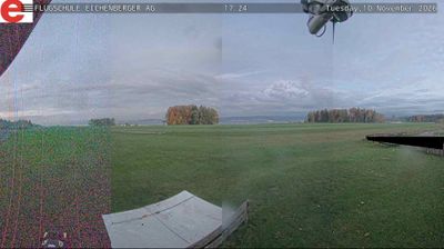
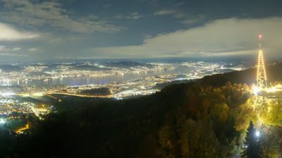
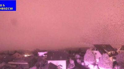

Oberlunkhofen lies between the Reuss and the low hills of Aargau’s Reuss valley, a position that has kept the settlement linked to farmland as well as the wider Zurich area. It is now part of the municipality of Lunkhofen, formed in 2012 through the merger of Oberlunkhofen and neighbouring Unterlunkhofen, though the older village name remains firmly in use. The parish church of St Leodegar is a local landmark, while the river corridor and wooded slopes give the area a distinctly rural character. This is central Switzerland away from the Alpine resort routes, in the Bremgarten district of Aargau. Browse additional webcams from the Reuss valley and Aargau to extend your view of this part of Switzerland.
2 webcams
Aargau occupies a northern stretch of the Swiss Plateau and the Jura foothills in Switzerland. The River Aare is the canton’s defining waterway, flowing through towns and fertile valleys before reaching the Rhine near Koblenz. To the south and west, wooded Jura ridges contrast with the more open lowlands around Aarau, the cantonal capital. Aargau also has a lasting place in European history: Habsburg Castle, above the Aare valley, was the ancestral seat of the Habsburg dynasty. Baden is known for its thermal springs, used since Roman times. Explore nearby webcam locations that provide complementary perspectives on Aargau’s river valleys and Jura slopes.
32 webcams
Switzerland stretches from the Jura Mountains in the northwest to the Alps in the south, encompassing a central plateau of cities, farms and lakes. The Rhine rises in the Swiss Alps, while Lake Geneva forms part of the country’s southwestern border. Zürich, Geneva and Basel are major urban centres, yet mountain railways and passes remain central to how many regions are experienced. Four national languages—German, French, Italian and Romansh—reflect Switzerland’s distinct cantonal identities. The Matterhorn above Zermatt is among Europe’s most recognisable peaks, and the 1291 Federal Charter is closely associated with the country’s founding tradition. Continue through nearby webcams to explore different parts of Switzerland.
1.4K webcams