 Beaver Creek
Built around construction of the Alaska Highway, Beaver Creek grew into Yukon’s westernmost community and a key service point near the Alaska boundary. The settlement stands beside Beaver Creek in the boreal interior of the upper Yukon, where the highway follows a broad corridor of spruce forest and low rolling ground. It lies within the traditional territory of the White River First Nation, whose communities also include Burwash Landing. Beaver Creek remains a practical stop for motorists travelling between Yukon and Alaska, its identity shaped more by remoteness and the long overland route than by urban scale.
Generated by AI



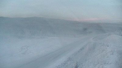
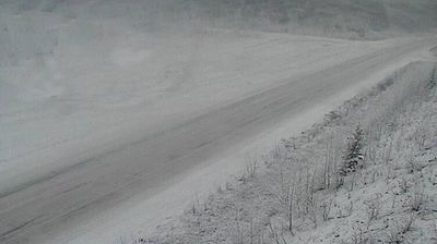

Beaver Creek sits close to the Canada–United States border in Yukon, and its position on the Alaska Highway has made it a practical stop on one of northern North America’s great road routes. The small community lies in the upper White River valley, amid a vast interior shaped by boreal forest, wetlands and long winters. Beaver Creek is within the traditional territory of the White River First Nation, whose local presence connects the settlement with the Indigenous cultures of this borderland. The Alaska Highway, built during the Second World War, remains central to its role as a service point for travellers heading between Yukon and Alaska. View additional webcams nearby to better understand how Beaver Creek relates to the upper White River valley and the Yukon–Alaska borderlands.
1 webcam
Built around Indigenous travel routes along the Yukon River and later reshaped by the Klondike gold rush, Yukon grew into Canada’s northwestern territory. Its vast interior extends from boreal forest and broad river valleys to Arctic tundra and the high ranges of Kluane National Park and Reserve. The Yukon River remains a defining route through the territory, while Dawson City recalls the 1898 rush that brought international attention to the Klondike. Yukon is home to 14 First Nations, whose communities, languages and traditions are central to its identity. Find related webcams across Yukon and the surrounding north to build a fuller picture of this Canadian territory.
4 webcams
Canada has served as a frontier between French and British colonial powers since the 17th century. The world’s second-largest country extends from Atlantic shores to the Pacific and Arctic coasts, with the Canadian Shield, the Rocky Mountains, the Great Lakes and the St. Lawrence River shaping its vast geography. First Nations, Inuit and Métis peoples are central to Canada’s identity, while Ottawa’s Parliament Hill represents its federal political life. French remains the official language of Quebec, adding a distinct dimension to the country’s public culture. See how Canada connects across North America by browsing webcams in neighbouring regions.
3.5K webcams