 Williams
The landscape around Williams is a high, forested stretch of the Colorado Plateau, which has shaped both the built environment and local life. Set amid Kaibab National Forest, the town lies near Bill Williams Mountain, with ponderosa pine, juniper and open slopes defining the surrounding terrain. Williams developed around the railroad and the highway corridor that became Route 66. It was the last community on the route to be bypassed by Interstate 40, in 1984, an event often used to mark the end of Route 66’s original era. Its historic downtown retains roadside-era storefronts, while the Grand Canyon Railway carries passengers from Williams to Grand Canyon Village on the South Rim.
Generated by AI
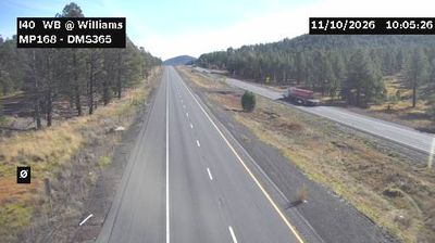
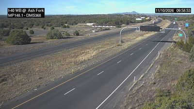

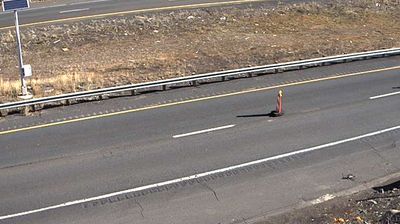
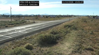
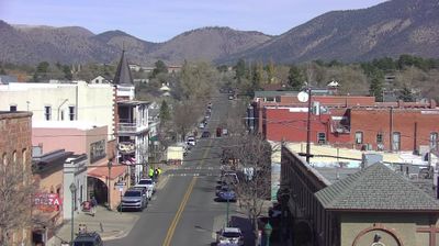

Williams is best known in Arizona for the Grand Canyon Railway, whose trains leave the town’s historic depot for Grand Canyon Village on the South Rim. Set at the foot of Bill Williams Mountain and beside the Kaibab National Forest, it is surrounded by the high-country forests of northern Arizona rather than desert terrain. Historic Route 66 runs through the centre, with motels, diners and businesses recalling the highway’s classic road-trip era. Williams was the last town on Route 66 to be bypassed by Interstate 40, in 1984, a moment that helped focus local identity on preserving the old route. Browse other webcams across Arizona to place this setting in a wider geographic context.
3 webcams
Arizona is renowned in the United States for the Grand Canyon, carved by the Colorado River in the state’s north. Its terrain extends from the Sonoran Desert, where saguaro cacti define the south, to ponderosa pine forests and the high plateaus of the Colorado Plateau. The red-rock country around Sedona and the sandstone buttes of Monument Valley are enduring symbols of the American Southwest. Indigenous heritage remains central: Arizona is home to 22 federally recognized tribes, including the Navajo Nation and Hopi Tribe. Historic Route 66 also passes through northern communities such as Flagstaff and Kingman. Discover other points of interest through webcams located across Arizona.
650 webcams
The Atlantic, Pacific and Gulf coasts define much of the United States — their ports, fisheries and trade routes have long tied the country’s economy to the wider world. Between them, the Rocky Mountains, Great Plains and Mississippi River basin form sharply different regions, from high western ranges to broad agricultural heartlands. Cities carry much of the national story: New York’s Statue of Liberty, a gift from France dedicated in 1886, remains an enduring symbol, while Washington, DC concentrates major federal institutions. Indigenous nations have shaped these lands for millennia, and their living cultures remain essential to the country’s identity. Find related webcams in the surrounding areas to build a fuller picture of the United States.
32K webcams