 Sierra Vista
 occupies the broad San Pedro Valley in southeastern Arizona, near the foothills of the Huachuca Mountains. The city developed beside Fort Huachuca, a U.S. Army installation established in 1877 that remains central to its economy and identity. State Route 90 is a principal north–south corridor through this low-desert setting, where residential districts meet open scrubland and ranch country. Nearby, the San Pedro Riparian National Conservation Area protects an important migratory-bird corridor along the San Pedro River. Sierra Vista’s proximity to the Mexican border also gives it a distinct borderlands character within the American Southwest.
Generated by AI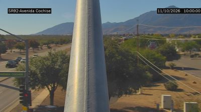
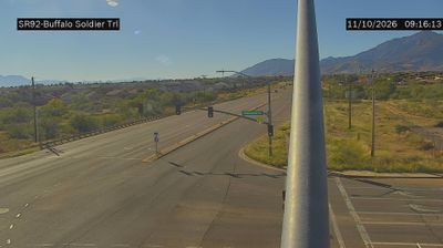
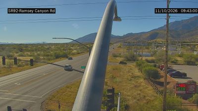

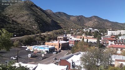

The Huachuca Mountains define the setting of Sierra Vista — their wooded slopes rise west of this southeastern Arizona city, while open desert borderlands shape its broad horizons. The nearby San Pedro River supports one of the Southwest’s significant remaining riparian corridors, protected in part by the San Pedro Riparian National Conservation Area. Sierra Vista is closely tied to Fort Huachuca, established in 1877 as Camp Huachuca; Buffalo Soldier regiments served here, and the post now hosts the U.S. Army Intelligence Center of Excellence. Birding, hiking and military heritage give the city a distinctive role in Cochise County. Find related webcams in the surrounding area to build a fuller picture of southeastern Arizona.
3 webcams
Arizona is renowned in the United States for the Grand Canyon, carved by the Colorado River in the state’s north. Its terrain extends from the Sonoran Desert, where saguaro cacti define the south, to ponderosa pine forests and the high plateaus of the Colorado Plateau. The red-rock country around Sedona and the sandstone buttes of Monument Valley are enduring symbols of the American Southwest. Indigenous heritage remains central: Arizona is home to 22 federally recognized tribes, including the Navajo Nation and Hopi Tribe. Historic Route 66 also passes through northern communities such as Flagstaff and Kingman. Discover other points of interest through webcams located across Arizona.
650 webcams
The Atlantic, Pacific and Gulf coasts define much of the United States — their ports, fisheries and trade routes have long tied the country’s economy to the wider world. Between them, the Rocky Mountains, Great Plains and Mississippi River basin form sharply different regions, from high western ranges to broad agricultural heartlands. Cities carry much of the national story: New York’s Statue of Liberty, a gift from France dedicated in 1886, remains an enduring symbol, while Washington, DC concentrates major federal institutions. Indigenous nations have shaped these lands for millennia, and their living cultures remain essential to the country’s identity. Find related webcams in the surrounding areas to build a fuller picture of the United States.
32K webcams