 Tucson: Stockham
Tucson has served as a military and trading post in southern Arizona since 1775, when the Spanish founded the Presidio San Agustín del Tucsón. The city lies in the Sonoran Desert, in a broad basin framed by the Santa Catalina Mountains to the north and the Rincon Mountains to the east. The Santa Cruz River runs through the metropolitan area, although much of its channel is normally dry. Tucson’s identity reflects Indigenous, Mexican and Anglo-American histories; the University of Arizona, founded in 1885, is a major civic institution. Saguaro National Park protects giant saguaro cactus landscapes in two districts on the city’s eastern and western edges. Interstate 10 forms a major transport spine through the urban area.
Generated by AI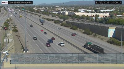
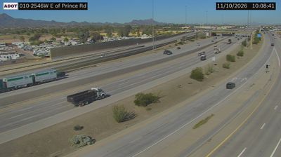
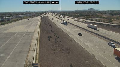
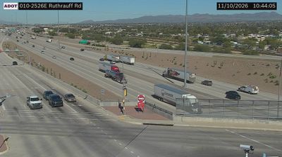


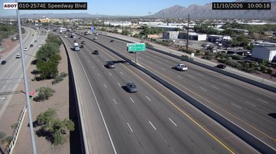
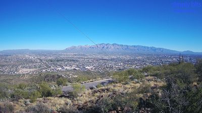

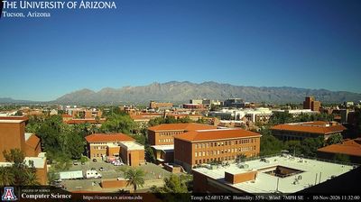

Few cities in Arizona have a history as closely tied to the Santa Cruz River valley as Tucson. The city sits in the Sonoran Desert, with the Santa Catalina Mountains rising to the north and other ranges defining the basin around it. Long before the modern city, the valley was home to Hohokam communities; Spanish settlers later established the Presidio San Agustín del Tucson in 1775. Today, the University of Arizona gives central Tucson an academic presence, while the historic Fourth Avenue district and downtown reflect its layered borderlands identity. South of the city, Mission San Xavier del Bac is a major landmark of Spanish colonial Arizona. Find related webcams across Tucson and southern Arizona to build a fuller picture of the Sonoran Desert.
31 webcams
Arizona is renowned in the United States for the Grand Canyon, carved by the Colorado River in the state’s north. Its terrain extends from the Sonoran Desert, where saguaro cacti define the south, to ponderosa pine forests and the high plateaus of the Colorado Plateau. The red-rock country around Sedona and the sandstone buttes of Monument Valley are enduring symbols of the American Southwest. Indigenous heritage remains central: Arizona is home to 22 federally recognized tribes, including the Navajo Nation and Hopi Tribe. Historic Route 66 also passes through northern communities such as Flagstaff and Kingman. Discover other points of interest through webcams located across Arizona.
650 webcams
The Atlantic, Pacific and Gulf coasts define much of the United States — their ports, fisheries and trade routes have long tied the country’s economy to the wider world. Between them, the Rocky Mountains, Great Plains and Mississippi River basin form sharply different regions, from high western ranges to broad agricultural heartlands. Cities carry much of the national story: New York’s Statue of Liberty, a gift from France dedicated in 1886, remains an enduring symbol, while Washington, DC concentrates major federal institutions. Indigenous nations have shaped these lands for millennia, and their living cultures remain essential to the country’s identity. Find related webcams in the surrounding areas to build a fuller picture of the United States.
32K webcams