 Phoenix
The landscape around Phoenix is an arid Sonoran Desert basin ringed by low mountain ranges, which has shaped both the built environment and local life. Central Phoenix is a broad, planned metropolis where major arterial roads and Interstate 10 cross a landscape long dependent on water management. The Salt River runs south of downtown; its flow is heavily controlled by dams, while the Salt River Project manages an extensive canal system supplying the metropolitan area. Phoenix began in 1868 as an agricultural settlement, drawing on the routes of far older Hohokam canals. Today its grid of streets joins neighbourhoods of low-rise homes, civic institutions and business districts beneath the surrounding desert peaks. The 5th Avenue corridor lies close to the downtown core and I-10, one of the city’s principal cross-town highways.
Generated by AI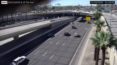


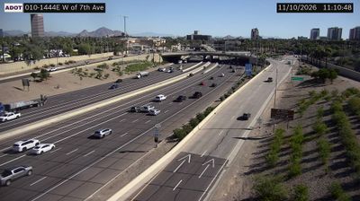





The Salt River defines the setting of Phoenix — its broad, often dry channel and the surrounding Sonoran Desert have shaped a sprawling city built around water management and year-round outdoor life. Mountains rise directly from the metropolitan plain, with Camelback Mountain a familiar landmark between Phoenix and Scottsdale. The city grew beside canals that followed routes first engineered by the Hohokam, whose irrigation network supported farming in this desert centuries before Phoenix was founded. Downtown combines government buildings, museums and sports venues, while the Heard Museum is widely known for its presentations of American Indian art and culture. Explore nearby webcam locations that provide complementary perspectives on Phoenix and central Arizona.
162 webcams
Arizona is renowned in the United States for the Grand Canyon, carved by the Colorado River in the state’s north. Its terrain extends from the Sonoran Desert, where saguaro cacti define the south, to ponderosa pine forests and the high plateaus of the Colorado Plateau. The red-rock country around Sedona and the sandstone buttes of Monument Valley are enduring symbols of the American Southwest. Indigenous heritage remains central: Arizona is home to 22 federally recognized tribes, including the Navajo Nation and Hopi Tribe. Historic Route 66 also passes through northern communities such as Flagstaff and Kingman. Discover other points of interest through webcams located across Arizona.
650 webcams
The Atlantic, Pacific and Gulf coasts define much of the United States — their ports, fisheries and trade routes have long tied the country’s economy to the wider world. Between them, the Rocky Mountains, Great Plains and Mississippi River basin form sharply different regions, from high western ranges to broad agricultural heartlands. Cities carry much of the national story: New York’s Statue of Liberty, a gift from France dedicated in 1886, remains an enduring symbol, while Washington, DC concentrates major federal institutions. Indigenous nations have shaped these lands for millennia, and their living cultures remain essential to the country’s identity. Find related webcams in the surrounding areas to build a fuller picture of the United States.
32K webcams