 Vernouillet
 occupies an open stretch of the Drouais plain in Centre-Val de Loire, beside the town of Dreux in northern Eure-et-Loir. The local Dreux–Vernouillet Aerodrome (LFON) is a grass-field airfield serving light aviation in this agricultural part of the region. Its low, level setting reflects the broad cereal-growing country between the Paris Basin and the Beauce. Dreux provides the area’s principal historic landmark: its 19th-century Royal Chapel is the burial place of the House of Orléans. Vernouillet and Dreux form one urban area, where residential neighbourhoods meet open farmland at the town’s edge.
Generated by AI


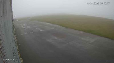


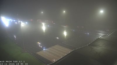

Few towns in Centre-Loire Valley have a history as closely tied to the Drouais, the historic country around Dreux, as Vernouillet. Set immediately southwest of Dreux, the commune follows the Blaise valley; this small river continues north to join the Eure in Dreux. Vernouillet is part of the Dreux urban area, where residential streets, local services and open farmland meet on the edge of the Paris Basin. Its identity is closely bound to its larger neighbour rather than to the Loire Valley’s better-known château circuit. The Royal Chapel of Dreux, burial place of the House of Orléans, provides a notable dynastic landmark nearby. Place Vernouillet in its Drouais setting by browsing webcams around Dreux and across Centre-Loire Valley.
1 webcam
Among the regions of France, Centre-Loire Valley stands out for its concentration of Renaissance royal residences along the Loire River. The area around Blois and Chambord lies in a broad river plain of woods, farmland and vineyards, while the Loire remains the region’s defining waterway. Château de Chambord, commissioned by King Francis I in the 16th century, is renowned for its vast scale and distinctive French Renaissance design. Blois, once a seat of the French court, adds another important royal chapter. Part of the Loire Valley is listed as a UNESCO World Heritage site. Explore additional webcams nearby to see how Centre-Loire Valley connects with the Loire basin and surrounding countryside.
35 webcams
The Atlantic and Mediterranean coastlines, together with the Alps, Pyrenees and broad river basins, define much of France — they support maritime trade, farming, wine regions and travel throughout the year. The Seine runs through Paris, where the Eiffel Tower and the Louvre are among Europe’s most recognised landmarks. The Loire Valley is known for Renaissance châteaux, while Mont-Saint-Michel rises from a tidal bay in Normandy. Regional food traditions are equally distinctive, from Breton seafood to Provençal cooking, with bread, cheese and wine central to everyday life. France’s global cultural influence is evident in its language, literature, fashion and cinema. View additional webcams nearby to better understand how France’s coasts, plains and mountain borders relate to their surroundings.
2.2K webcams