 Mezhdurechensk
 occupies a river plain between the Tom and Usa rivers in Kemerovo Oblast–Kuzbass. Established as a city in 1955, it developed around the coalfields of the Kuznetsk Basin and remains an important mining centre. Broad planned streets and apartment districts extend across the valley, framed by the foothills of the Kuznetsk Alatau. The Tom and Usa shape the city’s geography, while its name literally means “between rivers”. Taiga and mountain terrain of southern Kuzbass lie close to this urban centre, whose identity has long been tied to Siberia’s coal industry.
Generated by AI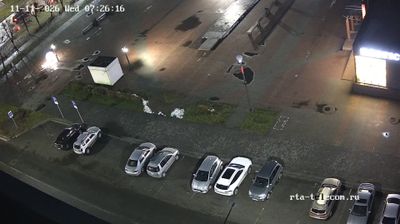
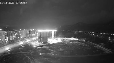
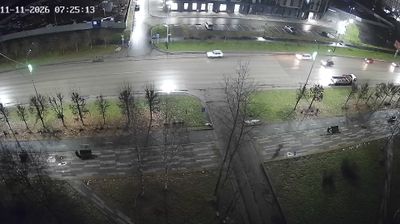
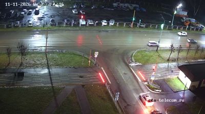
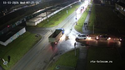
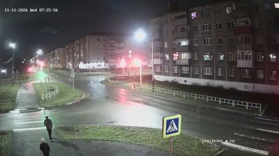
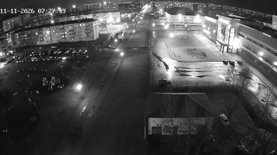
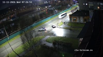
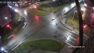
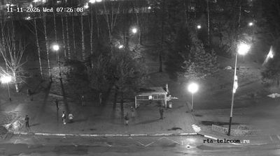

The landscape around Mezhdurechensk is a confluence plain where the Usa meets the Tom, framed by the foothills of the Kuznetsk Alatau, which has shaped both the city’s layout and its coal-based economy. Set in southern Kemerovo Oblast–Kuzbass, the city fills the land between its two defining rivers; its Russian name translates as “between the rivers.” Mezhdurechensk expanded alongside development of the Kuzbass coalfields and was granted city status in 1955. Mining remains integral to the local economy, while the Tom, the Usa and nearby taiga set an industrial city against a mountain-fringe backdrop. See how Mezhdurechensk fits into southern Kuzbass by browsing webcams nearby.
34 webcams
Among Russia’s regions, Kemerovo Oblast–Kuzbass stands out as the core of the Kuznetsk Coal Basin, one of the country’s principal coal-producing areas. Set in southwestern Siberia, it combines industrial cities with taiga, river valleys and uplands framed by the Kuznetsk Alatau and the Salair Ridge. The Tom River runs through Novokuznetsk, the oblast’s largest city, where the Kuznetsk Fortress recalls the area’s earlier Siberian frontier history. Mining remains central to local identity, while the surrounding terrain brings a markedly different scale beyond the urban centres. Trace Kemerovo Oblast–Kuzbass’s place in southwestern Siberia by browsing webcams in the surrounding area.
67 webcams
Russia has served as a major power between Europe and Asia since the 16th century. Its territory crosses eleven time zones, extending from the Baltic coast and the East European Plain over the Ural Mountains to the Pacific. The Volga, Europe’s longest river, runs through a core of historic Russian settlement, while Lake Baikal in Siberia is the world’s deepest lake. Moscow’s Kremlin and Red Square stand at the centre of the capital’s political and architectural heritage; Saint Petersburg’s Hermitage Museum occupies the Winter Palace. Orthodox churches, Russian-language literature, ballet and long-distance rail travel remain familiar reference points in a country of immense regional contrasts. Continue with other webcams from Russia to see how this part of northern Eurasia connects regionally.
458 webcams