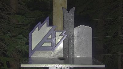
 Montezuma: A-Frame Building
Arapahoe Basin straddles the Continental Divide in Colorado’s Front Range, and its high-ridge position has shaped a ski area whose terrain reaches either side of the divide. Founded in 1946, it is among Colorado’s longest-running ski areas. The A-Frame building belongs to a compact base area below Lenawee Mountain, where lifts connect forested lower runs with broad alpine bowls. The surrounding slopes form part of the White River National Forest, rising above the Montezuma area. A-Basin has retained a distinctly mountain-focused identity rather than the extensive lodging and retail development associated with several nearby Colorado resorts.
Generated by AI

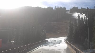
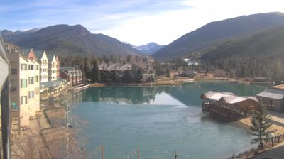

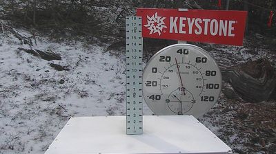
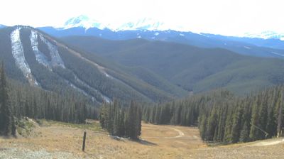

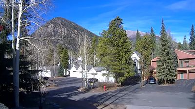

Montezuma occupies a high mountain valley at the headwaters of the Snake River in Colorado’s Summit County. Near the Continental Divide and at roughly 10,200 feet (3,109 metres), this small settlement sits amid steep, forested slopes and alpine country rather than the busier resort corridors along Interstate 70. Montezuma began as a mining camp during Colorado’s nineteenth-century silver boom, and its compact streets retain traces of that frontier-era past. Peru Creek meets the Snake River here, while unpaved mountain roads continue into former mining terrain beyond town. Browse other webcams across Summit County and the Colorado Rockies to place this setting in a wider geographic context.
4 webcams
Among the states of the United States, Colorado stands out for the high Rocky Mountain country running through its centre. Around this part of the state, forested slopes, open basins and granite outcrops form the interior landscape of the Rockies, where conditions can change rapidly with the season. The Continental Divide crosses Colorado, separating waters that flow toward the Pacific from those bound for the Atlantic and Gulf coasts. The Arkansas River rises in the central Rockies and is one of the state’s major waterways. Admitted to the Union in 1876, Colorado is still known as the Centennial State. See how central Colorado connects with the wider Rocky Mountain region by browsing webcams nearby.
214 webcams
The Atlantic, Pacific and Gulf coasts define much of the United States — their ports, fisheries and trade routes have long tied the country’s economy to the wider world. Between them, the Rocky Mountains, Great Plains and Mississippi River basin form sharply different regions, from high western ranges to broad agricultural heartlands. Cities carry much of the national story: New York’s Statue of Liberty, a gift from France dedicated in 1886, remains an enduring symbol, while Washington, DC concentrates major federal institutions. Indigenous nations have shaped these lands for millennia, and their living cultures remain essential to the country’s identity. Find related webcams in the surrounding areas to build a fuller picture of the United States.
32K webcams