 Grand Falls-Windsor: Grenfell Heights
Grand Falls-Windsor straddles the Exploits River in central Newfoundland, and the river’s power fostered the industrial settlement from which the modern town grew. Grenfell Heights occupies the northern roadside edge of town alongside the Trans-Canada Highway, the route tying this interior community to the rest of the island. The Exploits, Newfoundland’s longest river, runs through a broad wooded valley and remains central to the area’s identity. Grand Falls-Windsor developed around a major pulp-and-paper mill at Grand Falls; the mill closed in 2009, but its legacy remains integral to the town’s character. Forest and highway infrastructure give Grenfell Heights a practical, open setting rather than a downtown streetscape.
Generated by AI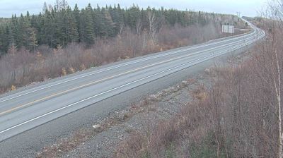
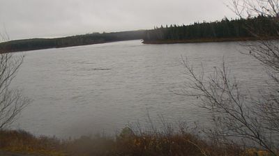
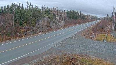

The landscape around Grand Falls-Windsor is defined by the forested Exploits River valley, which has shaped both the urban form and local economy. Set in central Newfoundland’s interior, the town grew around the river’s hydroelectric potential and its former newsprint industry. Grand Falls-Windsor was incorporated in 1991 through the amalgamation of the neighbouring communities of Grand Falls and Windsor. Today it serves as an important regional centre, with riverbanks, wooded surroundings and road links that make it a practical base for exploring inland Newfoundland. Move on to other webcams in Newfoundland and Labrador to compare river valleys and coastal settings around central Newfoundland.
1 webcam
Among Canada’s regions, Newfoundland and Labrador stands apart for its far-reaching North Atlantic coastline and the meeting of the island of Newfoundland with mainland Labrador. The province faces the Labrador Sea to the northeast and the Gulf of St. Lawrence along its western and southern reaches; its terrain ranges from exposed shores and barrens to forests, lakes and the Labrador Plateau. Gros Morne National Park, on Newfoundland’s west coast, is a UNESCO World Heritage Site celebrated for geology that exposes deep sections of Earth’s crust. Inuit, Innu and Mi’kmaq communities are integral to the province’s living cultures, alongside outport traditions shaped by the cod fishery. Browse additional webcams from the surrounding area to extend your view of Newfoundland and Labrador.
45 webcams
Canada has served as a frontier between French and British colonial powers since the 17th century. The world’s second-largest country extends from Atlantic shores to the Pacific and Arctic coasts, with the Canadian Shield, the Rocky Mountains, the Great Lakes and the St. Lawrence River shaping its vast geography. First Nations, Inuit and Métis peoples are central to Canada’s identity, while Ottawa’s Parliament Hill represents its federal political life. French remains the official language of Quebec, adding a distinct dimension to the country’s public culture. See how Canada connects across North America by browsing webcams in neighbouring regions.
3.5K webcams