 Trảng Bàng
Phuoc Thanh Commune is best known within Ho Chi Minh City for its stretch of National Route 22, the highway linking the metropolis with northwestern Vietnam and the Cambodian border. In the Cu Chi area, it forms a low-rise outer district where homes, small businesses and roadside services follow an important transport corridor. National Route 22 is a principal overland connection between Ho Chi Minh City and Tay Ninh Province, giving the commune a transit-oriented character distinct from the dense central city. Cu Chi is widely associated with the Cu Chi Tunnels, a wartime underground complex and one of southern Vietnam’s most significant historic sites. Phuoc Thanh links everyday road commerce with the lower-density rural surroundings of the city’s northwest.
Generated by AI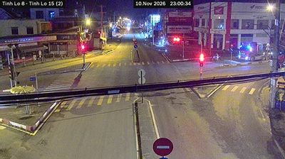
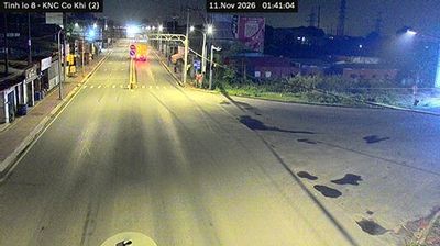


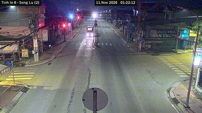
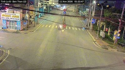

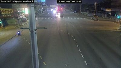


Trảng Bàng is best known within Tây Ninh Province for bánh tráng phơi sương, rice paper traditionally softened by night dew. The town lies in the southern Vietnamese lowlands near the Vàm Cỏ Đông River, on the road corridor between Ho Chi Minh City and the Cambodian border. Its culinary identity also includes bánh canh Trảng Bàng, a rice-noodle soup often served with fresh herbs and local rice paper. Rice farming and small food producers shape the flat countryside around this active provincial town. Find related webcams in Tây Ninh Province to build a fuller picture of Trảng Bàng and southern Vietnam.
1 webcam
Tay Ninh province occupies an inland borderland in southern Vietnam. Its western frontier meets Cambodia, while the Vam Co Dong River runs through a lowland of farms and settlements extending towards Ho Chi Minh City. The province is closely associated with Núi Bà Đen, or Black Virgin Mountain, which rises 986 metres above the surrounding plain. Tây Ninh City is home to the Cao Đài Holy See, the spiritual centre of Caodaism, a Vietnamese religious tradition formally established in 1926. Explore nearby webcam locations that provide complementary perspectives on Tay Ninh province.
2 webcams
Vietnam has served as a frontier between Chinese and Southeast Asian cultural spheres since the first millennium. This long, narrow country extends from the Red River delta in the north to the Mekong delta in the south, while the Annamite Range forms much of its western spine. Ha Long Bay’s limestone islands contrast with broad rice-growing lowlands. In central Vietnam, Huế was the seat of the Nguyễn dynasty, and Hội An retains the character of a historic trading port shaped by Asian and European commerce. Pho, regional noodle dishes and a lively coffee culture are part of daily life. View additional webcams nearby to better understand how Vietnam relates to the South China Sea and mainland Southeast Asia.
705 webcams