 South Tangerang: West BSD 1 Toll Gate - Serpong - Balaraja Toll Road - Jakarta - Serpong Toll Road
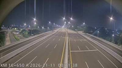
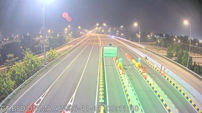
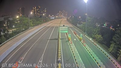
Tucked into the western outskirts of Greater Jakarta, West BSD 1 Toll Gate is a place whose character is shaped by the expressway links of the Jabodetabek urban region. It forms part of the road system around BSD City, a large planned township whose name abbreviates Bumi Serpong Damai. The Jakarta–Serpong Toll Road connects this area toward the capital, while the Serpong–Balaraja Toll Road continues the corridor west through Tangerang Regency. This is a working metropolitan edge of landscaped verges, expanding districts and controlled-access infrastructure rather than a historic centre. The Cisadane River runs through the wider Tangerang area on its way to the Java Sea. Adjacent South Tangerang became an autonomous city in 2008, reflecting Jakarta’s continuing urban expansion.
Generated by AI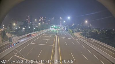
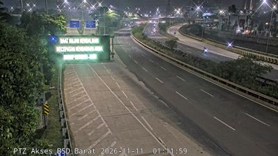
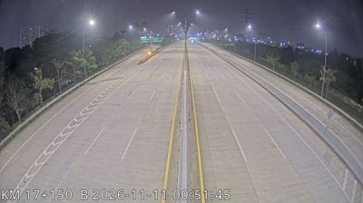
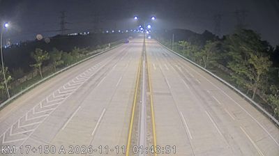

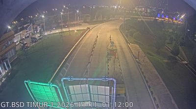


South Tangerang is best known within Indonesia for BSD City, a major planned urban development in Greater Jakarta. Set in Banten immediately southwest of the capital, this independent city forms part of the vast Jakarta metropolitan area, where business districts, housing estates and retail centres have transformed the former suburban fringe. The Cisadane River flows west of the city, while the Situ Gintung reservoir in Ciputat Timur is a notable inland water body. Serpong is also home to the Puspiptek science-and-technology research complex, underlining South Tangerang’s role beyond commuting into Jakarta. Browse other webcams across Banten to place South Tangerang in a wider geographic context.
64 webcams
Banten stretches from the Java Sea coast to the Indian Ocean, encompassing fertile lowlands, volcanic highlands and the westernmost reaches of Java. Its western shoreline faces the Sunda Strait, the passage separating Java from Sumatra; the Krakatau islands lie in these waters. Inland, Mount Karang rises near Pandeglang, while Ujung Kulon National Park protects rainforest, coastal forest and habitat for the Javan rhinoceros. The provincial capital, Serang, stands near Banten Lama, the former centre of the Banten Sultanate. The Great Mosque of Banten, built in the 16th century, remains a major monument from its maritime trading era. Ports, farming districts and the expanding urban area around Tangerang add another dimension. View additional webcams nearby to better understand how Banten relates to the Sunda Strait and western Java.
74 webcams
Indonesia has served as a maritime crossroads between the Indian and Pacific oceans since the early centuries of international trade. Its vast archipelago stretches across the equator, linking the volcanoes and rice-growing plains of Java with the rainforests of Borneo and the coral-fringed islands of eastern Indonesia. Java is home to Borobudur, a ninth-century Buddhist temple complex and UNESCO World Heritage Site, while Bali’s Hindu traditions shape daily ceremonies and temple life. Bahasa Indonesia provides a shared national language alongside hundreds of local languages. The Java Sea, Banda Sea and busy straits have long connected islands, ports and cuisines. Browse other webcams across Indonesia’s islands to place this setting in a wider geographic context.
598 webcams