 Indralaya: Jalan Tol Palembang - Indralaya
Tucked into the lowlands of South Sumatra, Jalan Tol Palembang–Indralaya is a place whose character is shaped by the flat, river-cut terrain of the Ogan Ilir region. This divided expressway runs between Palembang, South Sumatra’s provincial capital, and Indralaya, the administrative centre of Ogan Ilir Regency. It forms part of the Trans-Sumatra Toll Road network, providing a controlled-access link beyond the region’s older arterial roads. The Ogan River flows through the regency, while Indralaya is also home to the main campus of Universitas Sriwijaya, one of Indonesia’s major public universities. Interchanges, service infrastructure and broad roadside land parcels underline the corridor’s role in connecting Palembang with inland South Sumatra.
Generated by AI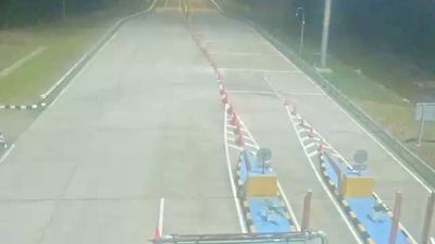

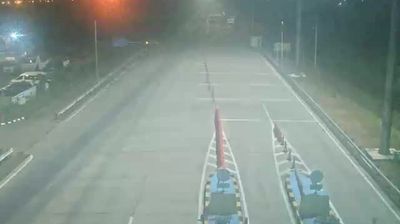
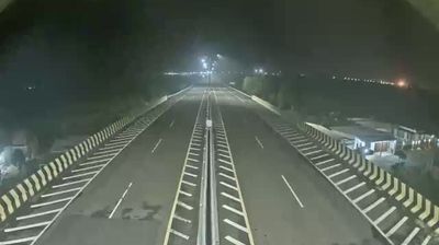






Indralaya lies along the Ogan River in South Sumatra’s lowlands, where tropical terrain and river corridors shape the settlement south of Palembang. It is the administrative centre of Ogan Ilir Regency, which was created in 2003 from part of Ogan Komering Ilir Regency. The town is closely associated with Universitas Sriwijaya: its principal Indralaya campus gives this regional centre a substantial student presence. Road connections toward Palembang place Indralaya within the wider orbit of South Sumatra’s capital, while the Ogan River remains an important marker of its local geography. Browse other webcams across South Sumatra to place this setting in a wider geographic context.
3 webcams
The Musi River and the Barisan Mountains define much of South Sumatra – their contrast between uplands and broad eastern lowlands has long supported farming, trade, and extractive industries. Palembang, the provincial capital on the Musi, was an important centre of the maritime Srivijaya polity and remains the region’s principal city. Its Ampera Bridge is a familiar landmark above the river. Beyond the urban corridor, plantations, wetlands, and coal-producing districts illustrate the province’s varied economy. South Sumatra also has a strong food identity, notably pempek, Palembang’s fish-and-tapioca speciality. Continue with other webcams from the area to see how this part of Sumatra connects regionally.
18 webcams
Indonesia has served as a maritime crossroads between the Indian and Pacific oceans since the early centuries of international trade. Its vast archipelago stretches across the equator, linking the volcanoes and rice-growing plains of Java with the rainforests of Borneo and the coral-fringed islands of eastern Indonesia. Java is home to Borobudur, a ninth-century Buddhist temple complex and UNESCO World Heritage Site, while Bali’s Hindu traditions shape daily ceremonies and temple life. Bahasa Indonesia provides a shared national language alongside hundreds of local languages. The Java Sea, Banda Sea and busy straits have long connected islands, ports and cuisines. Browse other webcams across Indonesia’s islands to place this setting in a wider geographic context.
587 webcams