 Elbistan: Elbistan Belediyesi
Elbistan sits on the Elbistan Plain in Turkey’s Kahramanmaraş Province, where the headwaters of the Ceyhan River cross a broad inland basin. The city is a regional centre in the province’s northeastern interior, with civic institutions, shops and everyday traffic concentrated around its urban core. Elbistan Belediyesi, the municipal administration, represents the public life of this substantial district town. The surrounding plain has long supported agriculture, while low mountains enclose parts of the wider basin. Elbistan is also associated with the vast Afşin-Elbistan lignite field, an important part of the area’s modern economic landscape. Its streets combine municipal spaces, established trees and the practical rhythms of a working Anatolian town.
Generated by AI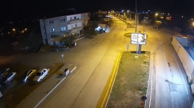
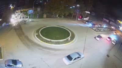


The Ceyhan River defines the setting of Elbistan — its waters cross the broad Elbistan Plain, sustaining agriculture and giving this inland town an open, level character. Set in the northern part of Kahramanmaraş Province, Elbistan is a longstanding regional centre for the surrounding rural districts. It served as an early capital of the Dulkadir beylik, a Turkmen principality that held influence in Anatolia between the Mamluk and Ottoman realms. Local life remains closely tied to the plain’s farming traditions and markets. Continue through nearby webcams to explore different parts of Elbistan and Kahramanmaraş.
1 webcam
Kahramanmaraş has served as a cultural crossroads within southern Anatolia since antiquity. The provincial capital lies below Ahir Mountain, while the wider province reaches from rugged uplands into the Ceyhan River basin. Known as Germanicia in the Roman period, the city developed at the meeting point of routes linking Anatolia with the eastern Mediterranean and Mesopotamia. Its best-known culinary tradition is Maraş dondurması, the chewy local ice cream made with salep. The February 2023 earthquakes profoundly affected the area, and reconstruction remains part of its present-day story. Continue through nearby webcams to explore different parts of Kahramanmaraş.
7 webcams
Turkey stretches from the Black Sea coast to the Mediterranean shore, encompassing the Anatolian Plateau, rugged mountain belts and the indented Aegean coastline. The Bosporus divides Istanbul between Europe and Asia, while historic districts hold landmarks including Hagia Sophia and the Blue Mosque. Inland, Cappadocia is known for valleys formed in soft volcanic rock and for rock-cut churches; farther west, the ruins of Ephesus recall the country’s place in the classical world. Regional character also defines Turkish cuisine, from Aegean olive-oil dishes to tea served throughout daily life. Continue with other webcams from the area to see how this part of Anatolia and the eastern Mediterranean connects regionally.
66 webcams