 Aspen: Roaring Fork Transportation Authority
Tucked between the Colorado River and the lower Roaring Fork River, Glenwood Springs is a place whose character is shaped by the meeting of two mountain waterways. The Roaring Fork Transportation Authority provides public transport through the long Roaring Fork Valley, linking Glenwood Springs with Carbondale, Basalt and Aspen. Bridges and riverside routes make water an integral part of the central townscape, while canyon walls mark the transition from the high Rockies toward western Colorado. Glenwood Springs developed as a resort town around its geothermal springs, and the Glenwood Hot Springs has welcomed bathers since the 19th century. It remains a compact regional hub where river, road, rail and valley communities converge.
Generated by AI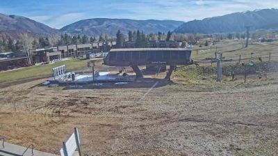
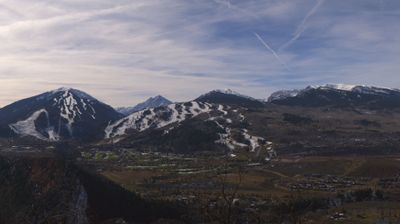



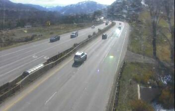

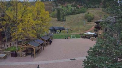
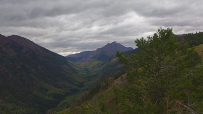
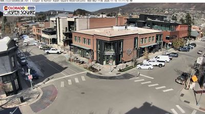

Tucked into the Roaring Fork Valley beneath Colorado’s Elk Mountains, Aspen is a place whose character is shaped by high-altitude terrain and winter snow. The Roaring Fork River runs through the city, while Aspen Mountain rises directly above its core; the wider area is associated with four ski mountains. Aspen developed rapidly during Colorado’s silver-mining boom of the 1880s, and the 1889 Wheeler Opera House remains a downtown landmark. Its compact centre combines Victorian-era streetscapes with restaurants, galleries and access to trails in the surrounding White River National Forest. Continue with other webcams from the area to see how this part of Colorado connects regionally.
16 webcams
Among the states of the United States, Colorado stands out for the high Rocky Mountain country running through its centre. Around this part of the state, forested slopes, open basins and granite outcrops form the interior landscape of the Rockies, where conditions can change rapidly with the season. The Continental Divide crosses Colorado, separating waters that flow toward the Pacific from those bound for the Atlantic and Gulf coasts. The Arkansas River rises in the central Rockies and is one of the state’s major waterways. Admitted to the Union in 1876, Colorado is still known as the Centennial State. See how central Colorado connects with the wider Rocky Mountain region by browsing webcams nearby.
214 webcams
The Atlantic, Pacific and Gulf coasts define much of the United States — their ports, fisheries and trade routes have long tied the country’s economy to the wider world. Between them, the Rocky Mountains, Great Plains and Mississippi River basin form sharply different regions, from high western ranges to broad agricultural heartlands. Cities carry much of the national story: New York’s Statue of Liberty, a gift from France dedicated in 1886, remains an enduring symbol, while Washington, DC concentrates major federal institutions. Indigenous nations have shaped these lands for millennia, and their living cultures remain essential to the country’s identity. Find related webcams in the surrounding areas to build a fuller picture of the United States.
32K webcams