 Juneau: Egan Drive/Glacier Highway
Among the places of Southeast Alaska, Juneau stands out as the only U.S. state capital not connected by road to the rest of the North American highway network. The city occupies the shore of Gastineau Channel, facing Douglas Island and backed by the steep Coast Mountains. As Alaska’s capital, it is the administrative centre of a vast region where marine and air links are fundamental. Juneau was founded during the gold rush of 1880 and named for prospector Joe Juneau. Its waterfront districts, government buildings and shore-hugging roads give the city a character distinct from most Alaskan settlements. Development is concentrated in a narrow strip between the water and forested slopes. Tongass National Forest, the largest national forest in the United States, surrounds much of the community.
Generated by AI
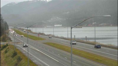
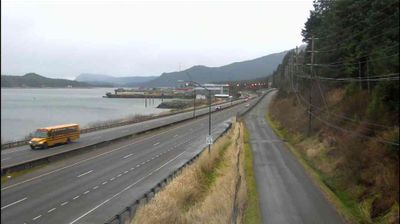
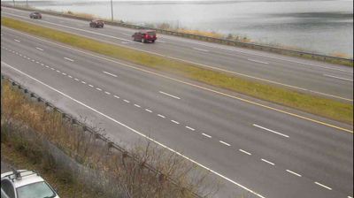
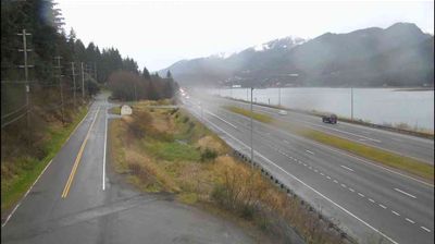
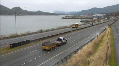
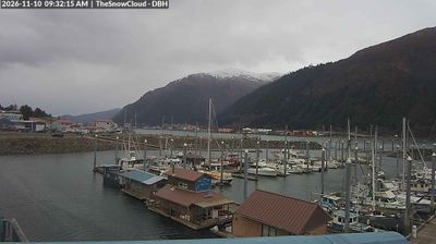
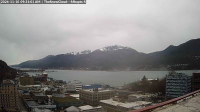


The landscape around Juneau is a steep, temperate-rainforest coast along Gastineau Channel, which has shaped both the urban form and local economy. Alaska’s capital is pressed between the channel and the Coast Mountains, and it is the only US state capital not connected to the rest of its state’s road system. Gold discoveries brought prospectors here in 1880, while today government, marine transport and tourism are central to city life. The nearby Mendenhall Glacier, descending from the Juneau Icefield, is one of the area’s best-known landmarks. Discover other points of interest through webcams located across Alaska’s Inside Passage.
42 webcams
Built around the homelands of Indigenous peoples and later linked by fur-trade and mining routes, Alaska grew into the largest state in the United States. These coordinates lie in the Interior, where the Tanana River crosses a country of broad lowlands, boreal forest and long winters. Alaska extends from the Gulf of Alaska to the Arctic Ocean and includes Denali, North America’s highest mountain. Athabascan communities remain central to the living cultural fabric of the interior. The Alaska Railroad reached Fairbanks in 1923, helping connect this remote region with the coast. Browse additional webcams from the surrounding area to extend your view of Interior Alaska.
411 webcams
The Atlantic, Pacific and Gulf coasts define much of the United States — their ports, fisheries and trade routes have long tied the country’s economy to the wider world. Between them, the Rocky Mountains, Great Plains and Mississippi River basin form sharply different regions, from high western ranges to broad agricultural heartlands. Cities carry much of the national story: New York’s Statue of Liberty, a gift from France dedicated in 1886, remains an enduring symbol, while Washington, DC concentrates major federal institutions. Indigenous nations have shaped these lands for millennia, and their living cultures remain essential to the country’s identity. Find related webcams in the surrounding areas to build a fuller picture of the United States.
32K webcams