 Saint-Eusèbe: Route Principale
Saint-Eusèbe has served as a rural parish community in Quebec’s Témiscouata region since the early 20th century. Set in the Appalachian foothills of Bas-Saint-Laurent, it belongs to an upland of mixed woodland, small clearings and dispersed homes near the New Brunswick border. Route Principale is a local through-road, reflecting a settlement pattern shaped by road connections rather than a compact urban core. The municipality forms part of the Témiscouata area, a historic inland corridor between the St. Lawrence valley and Atlantic Canada. Its parish identity remains part of the community’s French-speaking rural character, while the surrounding forest gives the locality a distinctly eastern Quebec setting.
Generated by AI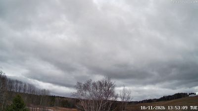
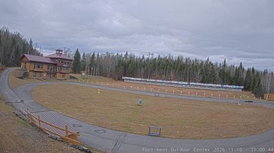

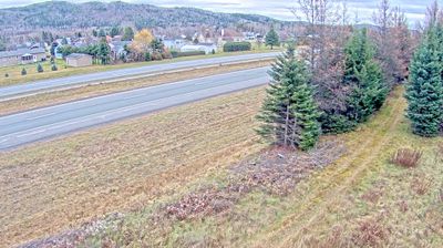
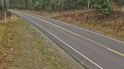
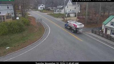
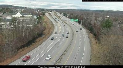

Saint-Eusèbe lies along the Saint-François River in Quebec’s Bas-Saint-Laurent region, and the river valley has shaped a small rural community amid the northern Appalachians. It forms part of Témiscouata, an inland area of eastern Quebec where forested terrain and farmland meet. French is the language of public life, reflecting the francophone character of the region, while the municipality’s name recalls the parish tradition that long organized settlement in rural Quebec. Far from the province’s major urban centres, Saint-Eusèbe is best understood within the wider Témiscouata landscape. Find related webcams around Témiscouata to build a fuller picture of Saint-Eusèbe.
2 webcams
Quebec has served as a French-speaking heartland within Canada since the 17th century. This vast province stretches from the St. Lawrence River valley to the subarctic north, and the coordinates here lie in its extensive Canadian Shield interior. Boreal forest, lakes, wetlands and rock outcrops shape this sparsely settled part of northern Quebec, where waterways are central to travel and seasonal life. French is Quebec’s official language, while Indigenous nations maintain enduring ties to territories across the province. Quebec City’s historic centre, founded in the early French colonial era, is a UNESCO World Heritage site. Browse additional webcams from the surrounding area to extend your view of northern Quebec.
59 webcams
Canada has served as a frontier between French and British colonial powers since the 17th century. The world’s second-largest country extends from Atlantic shores to the Pacific and Arctic coasts, with the Canadian Shield, the Rocky Mountains, the Great Lakes and the St. Lawrence River shaping its vast geography. First Nations, Inuit and Métis peoples are central to Canada’s identity, while Ottawa’s Parliament Hill represents its federal political life. French remains the official language of Quebec, adding a distinct dimension to the country’s public culture. See how Canada connects across North America by browsing webcams in neighbouring regions.
3.5K webcams