 Springfield
 straddles the divide between the Connecticut and Merrimack river watersheds in western New Hampshire, a position that places this rural town between Vermont and the state’s interior. Incorporated in 1794, Springfield belongs to the Dartmouth–Lake Sunapee region, where wooded uplands, small lakes and scattered homes shape the setting. Interstate 89 crosses the town as a major route between Concord, the Upper Valley and Vermont. Rather than a dense centre, Springfield is defined by broad, lightly settled terrain and road links through New Hampshire’s interior.
Generated by AI
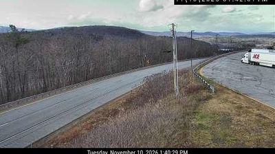
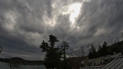
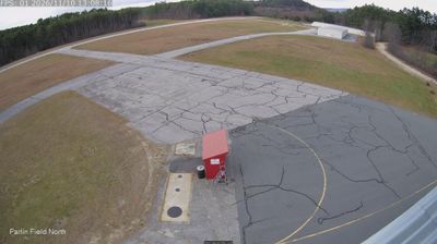


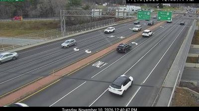


Lake Kolelemook and the wooded hills of western New Hampshire define the setting of Springfield — quiet roads, scattered homes and forested land give the town a distinctly rural rhythm. Incorporated in 1794, Springfield is part of Sullivan County and retains the compact scale typical of many long-established New England communities. The town lies east of the Connecticut River valley, in a region shaped by small lakes, woodland and seasonal outdoor pursuits rather than dense urban development. Its appeal is in the unhurried local landscape and its connection to the wider interior of New Hampshire. See how Springfield relates to western New Hampshire by browsing webcams in nearby communities.
3 webcams
New Hampshire occupies a mountainous inland position in the northeastern United States. The White Mountains define much of its northern character, culminating at Mount Washington, whose summit is famed for severe and rapidly changing weather. Southward, the Merrimack River links former mill cities including Manchester and Nashua, while Lake Winnipesaukee anchors the Lakes Region with wooded shores and island-dotted water. The state’s compact scale brings ski country, forest roads, historic seaports and New England town centres within reach of one another. Granite quarrying helped give New Hampshire its familiar nickname, the Granite State. Discover other points of interest through webcams located across New Hampshire.
331 webcams
The Atlantic, Pacific and Gulf coasts define much of the United States — their ports, fisheries and trade routes have long tied the country’s economy to the wider world. Between them, the Rocky Mountains, Great Plains and Mississippi River basin form sharply different regions, from high western ranges to broad agricultural heartlands. Cities carry much of the national story: New York’s Statue of Liberty, a gift from France dedicated in 1886, remains an enduring symbol, while Washington, DC concentrates major federal institutions. Indigenous nations have shaped these lands for millennia, and their living cultures remain essential to the country’s identity. Find related webcams in the surrounding areas to build a fuller picture of the United States.
32K webcams