 Thetford
 is best known within Vermont for Thetford Academy, an independent school founded in 1819. The town occupies the Connecticut River valley in eastern Vermont, with the river forming its boundary with New Hampshire. Interstate 91 crosses Thetford on its north–south course through the Upper Valley, linking local communities with White River Junction and the Canadian border. Settlement is dispersed among small village centers, working land and wooded hills rather than concentrated in a downtown. Thetford Academy’s campus at Thetford Hill remains a civic focus, while the surrounding roads and river corridor reflect the rural, cross-border character of this part of New England.
Generated by AI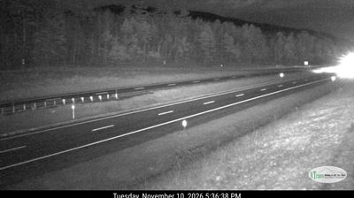
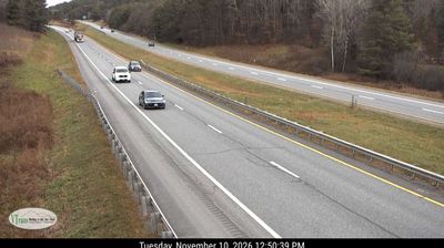
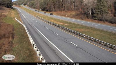

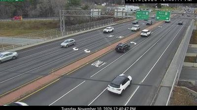

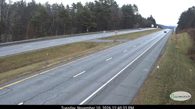
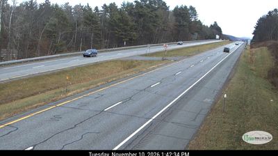
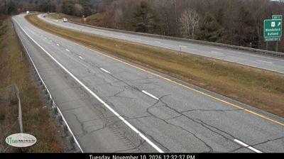
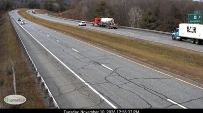

Thetford has served as an agricultural town in Vermont’s Upper Valley since the late 18th century. Spread across wooded uplands west of the Connecticut River, the town is threaded by the Ompompanoosuc River and divided among small settlements including Thetford Hill, Thetford Center and Post Mills. Rather than a compact downtown, its identity lies in these hamlets, working land and the rural roads linking them. Thetford Academy, founded in 1819, is Vermont’s oldest secondary school. Move on to other webcams in Vermont’s Upper Valley to compare landscapes and settings around Thetford.
2 webcams
Vermont is best known in the United States for the Green Mountains, the north–south range that gives the state its defining wooded backbone. These coordinates lie in north-central Vermont, where rolling uplands and narrow valleys lead toward the Lamoille River. Mount Mansfield, rising to 4,393 feet (1,339 metres), is the state’s highest peak and stands farther west in the same mountain region. Lake Champlain forms much of Vermont’s western edge, while the Connecticut River traces its border with New Hampshire. Maple sugaring is a defining seasonal tradition, and Vermont is the nation’s leading maple-syrup producer. Explore nearby places to better understand how north-central Vermont relates to the Green Mountains, river valleys and Lake Champlain.
196 webcams
The Atlantic, Pacific and Gulf coasts define much of the United States — their ports, fisheries and trade routes have long tied the country’s economy to the wider world. Between them, the Rocky Mountains, Great Plains and Mississippi River basin form sharply different regions, from high western ranges to broad agricultural heartlands. Cities carry much of the national story: New York’s Statue of Liberty, a gift from France dedicated in 1886, remains an enduring symbol, while Washington, DC concentrates major federal institutions. Indigenous nations have shaped these lands for millennia, and their living cultures remain essential to the country’s identity. Find related webcams in the surrounding areas to build a fuller picture of the United States.
32K webcams