 Cruz de los Esteros: Casa Arena - Playa Tecolutla, Veracruz
Playa Tecolutla occupies a low sandy coastal strip in northern Veracruz. Near the mouth of the Tecolutla River, the town of Tecolutla has grown around fishing, small-scale hospitality and beachgoing, while its shore remains broad and level. Casa Arena is in the Cruz de los Esteros area, part of a coastal plain of palms, dunes and open sand. The Gulf of Mexico shapes local life, from seafood cooking to boat activity around the river. Tecolutla belongs to Veracruz’s Costa Esmeralda, a long coastal corridor marked by beaches and river mouths. Its character comes from the close connection between a working coastal town, estuary country and the open Gulf.
Generated by AI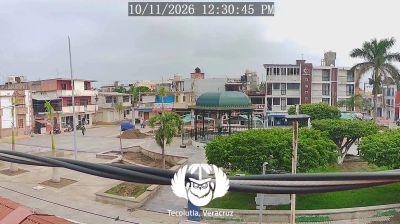
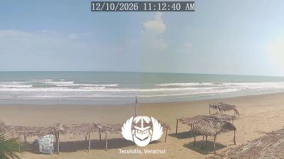

Cruz de los Esteros combines a low-lying coastal setting with a distinctly rural atmosphere in a way that reflects its position on Veracruz’s Gulf of Mexico plain. The settlement lies in northern Veracruz, where humid tropical conditions shape the flat lands between the interior and the coast. This part of the state belongs to the wider Totonacapan cultural region, closely associated with the Totonac people and the long tradition of vanilla cultivation. Browse other webcams across Veracruz’s Gulf coast to place this setting in a wider geographic context.
3 webcams
Veracruz combines a tropical Gulf coastline with a mountainous interior in a way that reflects its position between the Gulf of Mexico and the eastern slopes of the Sierra Madre Oriental. The state extends from humid lowlands and river plains to cooler high country, including the volcanic massif of Pico de Orizaba, Mexico’s highest mountain. Veracruz city’s port has long connected Mexico with the Caribbean and Atlantic world, while the fortress of San Juan de Ulúa stands beside its harbour. Seafood, music and the son jarocho tradition lend the central coast a distinctive cultural identity. Move on to other webcams in the region to compare landscapes and settings around Veracruz.
3 webcams
Mexico is best known internationally for its ancient Maya and Aztec heritage. Its territory stretches between the Pacific Ocean, the Gulf of Mexico and the Caribbean Sea, with the Sierra Madre ranges shaping much of the country’s terrain. Chichén Itzá on the Yucatán Peninsula remains one of the most recognized Maya archaeological sites, while Mexico City stands on the site of Tenochtitlan, the former Aztec capital. Traditional Mexican cuisine, recognized by UNESCO, reflects regional ingredients such as maize, beans, chile and cacao. Move on to other webcams in the region to compare landscapes and settings around Mexico.
46 webcams