 Dottingen
Döttingen occupies the western bank of the Aare in Aargau, and its position in the cultivated Lower Aare Valley has shaped it as a riverside settlement. The municipality belongs to the Zurzibiet, northern Aargau’s region between the Jura hills and the German border, where farms, orchards and vineyards share the valley floor with compact residential areas. On an island in the Aare at Döttingen stands the Beznau nuclear power plant, commissioned in 1969; it has long been a major element of local infrastructure and employment. Winegrowing is another established local tradition, reflected in vineyards on the valley’s slopes. Wooded ridges of the eastern Jura frame this stretch of the Aare and give it a distinctly lowland Swiss character.
Generated by AI
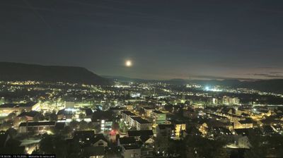
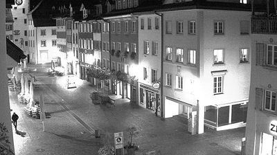

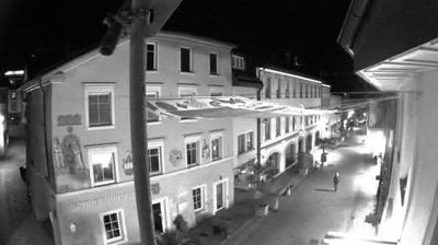



Döttingen lies along the Aare in the Lower Aare Valley, where vineyard-covered slopes meet a broad river plain beneath the Jura. This Aargau municipality belongs to one of the canton’s established wine-growing areas, and local producers remain central to its identity. The Döttingen Wine Festival reflects that long-standing tradition. Just downstream, the Aare broadens into the Klingnau reservoir, a wetland known for birdlife. Döttingen is also associated with the Beznau nuclear power plant, built on an island in the river and a prominent element of the local industrial landscape. Browse other webcams across Aargau and the Aare Valley to place this setting in a wider geographic context.
2 webcams
Aargau occupies a northern stretch of the Swiss Plateau and the Jura foothills in Switzerland. The River Aare is the canton’s defining waterway, flowing through towns and fertile valleys before reaching the Rhine near Koblenz. To the south and west, wooded Jura ridges contrast with the more open lowlands around Aarau, the cantonal capital. Aargau also has a lasting place in European history: Habsburg Castle, above the Aare valley, was the ancestral seat of the Habsburg dynasty. Baden is known for its thermal springs, used since Roman times. Explore nearby webcam locations that provide complementary perspectives on Aargau’s river valleys and Jura slopes.
36 webcams
Switzerland stretches from the Jura Mountains in the northwest to the Alps in the south, encompassing a central plateau of cities, farms and lakes. The Rhine rises in the Swiss Alps, while Lake Geneva forms part of the country’s southwestern border. Zürich, Geneva and Basel are major urban centres, yet mountain railways and passes remain central to how many regions are experienced. Four national languages—German, French, Italian and Romansh—reflect Switzerland’s distinct cantonal identities. The Matterhorn above Zermatt is among Europe’s most recognisable peaks, and the 1291 Federal Charter is closely associated with the country’s founding tradition. Continue through nearby webcams to explore different parts of Switzerland.
1.5K webcams