 Arredondo
North-central Florida’s low limestone plain defines the setting of Arredondo — level terrain, pine and hardwood cover, and dispersed development give this part of Alachua County a distinctly inland character. Interstate 75 passes beside the community on its long north–south course through Florida, placing the area along one of the state’s principal road corridors. Arredondo lies near Gainesville, the county seat and home of the University of Florida. The wider region forms part of the karst landscape associated with the Floridan aquifer, where springs and sinkholes are characteristic features.
Generated by AI
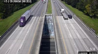

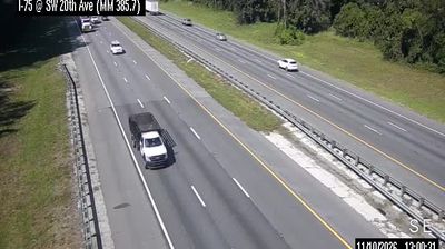
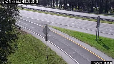
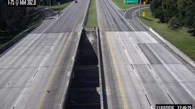


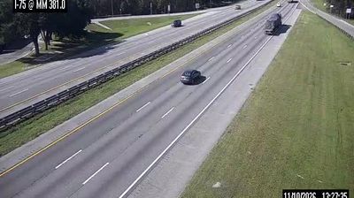


Arredondo lies on Gainesville’s southern fringe in north-central Florida, where suburban development meets the low, wet prairie country of Alachua County. The community is named for the Arredondo Grant, a vast Spanish land grant issued in 1817, recalling a period long before modern Gainesville spread across the area. To the east, Paynes Prairie Preserve State Park protects a broad basin of marshes, lakes and grassland that defines much of the regional terrain. Arredondo remains a quiet historic locality within Gainesville’s wider urban area, near the University of Florida yet distinctly less urban in character. Continue with other webcams from Alachua County to see how this part of north-central Florida connects regionally.
4 webcams
Florida occupies a low-lying peninsula in the southeastern United States, bordered by the Atlantic Ocean to the east and the Gulf of Mexico to the west. Lake Okeechobee lies near its centre, and water from this basin historically flowed south through the Everglades, a vast subtropical wetland protected in part by Everglades National Park. The Florida Keys extend southwest from the mainland, while long sandy coasts and inland freshwater systems shape everyday life across the state. St. Augustine, founded by Spain in 1565, is widely recognised as the oldest continuously inhabited European-established settlement in the United States. Explore additional webcams nearby to understand how Florida connects with the Atlantic, the Gulf, and the Caribbean.
4.5K webcams
The Atlantic, Pacific and Gulf coasts define much of the United States — their ports, fisheries and trade routes have long tied the country’s economy to the wider world. Between them, the Rocky Mountains, Great Plains and Mississippi River basin form sharply different regions, from high western ranges to broad agricultural heartlands. Cities carry much of the national story: New York’s Statue of Liberty, a gift from France dedicated in 1886, remains an enduring symbol, while Washington, DC concentrates major federal institutions. Indigenous nations have shaped these lands for millennia, and their living cultures remain essential to the country’s identity. Find related webcams in the surrounding areas to build a fuller picture of the United States.
32K webcams