 South Side
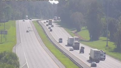
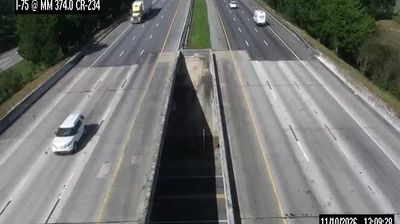
The landscape around South Side is low, wooded and largely level, which has shaped both the built environment and local life. This part of north-central Florida is organized around Interstate 75, a divided highway carrying local vehicles and long-haul freight through a corridor of mature trees, grassy verges and scattered development. Rather than an urban streetscape, the setting is defined by broad road rights-of-way and the transition between managed roadside land and forest. Its character reflects the automobile-oriented connections linking communities in this area with larger centres across Florida. South Side belongs to the southeastern lowlands, where major road corridors provide an essential framework for movement and everyday services.
Generated by AI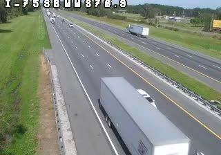


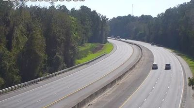

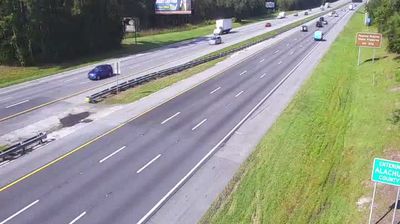
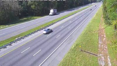


Built around rural homes and farmland near Orange Lake’s southern edge, South Side grew into a small locality in southeastern Alachua County. Orange Lake and its wetland margins shape this low-lying inland setting, where scattered residences and agricultural land remain central to the area’s character. The historic town of Micanopy lies nearby; its Micanopy Historic District is listed on the National Register of Historic Places. South Side belongs to north-central Florida rather than the state’s coastal resort belt. Discover other points of interest through webcams located across Alachua County and north-central Florida.
5 webcams
Florida occupies a low-lying peninsula in the southeastern United States, bordered by the Atlantic Ocean to the east and the Gulf of Mexico to the west. Lake Okeechobee lies near its centre, and water from this basin historically flowed south through the Everglades, a vast subtropical wetland protected in part by Everglades National Park. The Florida Keys extend southwest from the mainland, while long sandy coasts and inland freshwater systems shape everyday life across the state. St. Augustine, founded by Spain in 1565, is widely recognised as the oldest continuously inhabited European-established settlement in the United States. Explore additional webcams nearby to understand how Florida connects with the Atlantic, the Gulf, and the Caribbean.
4.5K webcams
The Atlantic, Pacific and Gulf coasts define much of the United States — their ports, fisheries and trade routes have long tied the country’s economy to the wider world. Between them, the Rocky Mountains, Great Plains and Mississippi River basin form sharply different regions, from high western ranges to broad agricultural heartlands. Cities carry much of the national story: New York’s Statue of Liberty, a gift from France dedicated in 1886, remains an enduring symbol, while Washington, DC concentrates major federal institutions. Indigenous nations have shaped these lands for millennia, and their living cultures remain essential to the country’s identity. Find related webcams in the surrounding areas to build a fuller picture of the United States.
32K webcams