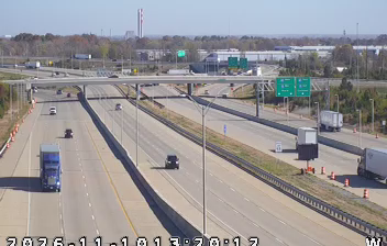
 Avon: US 36: 01-032-017-cam1 US36 @ Dan Jones Rd
Tucked along the flat glacial plain of central Indiana, Avon is a place whose character is shaped by suburban growth along U.S. Route 36. This Hendricks County town lies west of Indianapolis, where the White Lick Creek watershed crosses an increasingly built-up landscape of neighborhoods, shops and broad arterial roads. Rockville Road, the local name for US 36, forms Avon's principal east–west commercial corridor and links the community with Indianapolis and nearby Danville. Hendricks County is named for William Hendricks, Indiana's governor from 1822 to 1825. Avon remains part of the Indianapolis metropolitan area, but its development retains the spacious, road-oriented scale typical of the region's western suburbs.
Generated by AI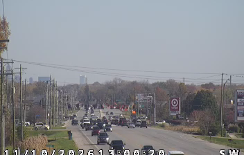
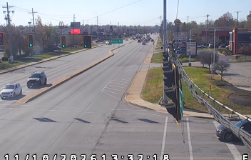
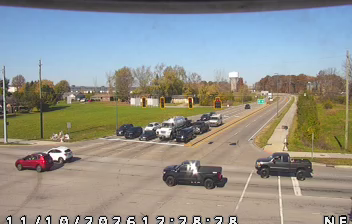
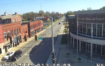

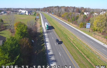
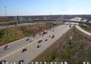
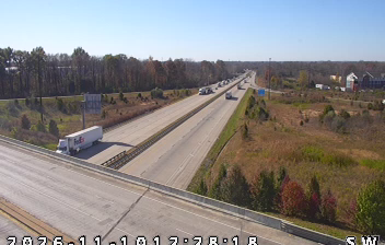

Avon sits along White Lick Creek in central Indiana, where level land west of Indianapolis has developed into a fast-growing suburban belt. In Hendricks County, it is part of the Indianapolis metropolitan area while retaining a distinctly residential, community-focused character. White Lick Creek belongs to the White River watershed, a geographic thread through this otherwise built-up setting. Avon was incorporated as a town in 1995, and its newer civic spaces, schools and local parks reflect that recent growth rather than an old downtown core. Its location puts Indianapolis’s museums, sports venues and urban neighbourhoods within easy reach, alongside the smaller towns and open country of Hendricks County. Find related webcams in the surrounding area to build a fuller picture of Avon and central Indiana.
2 webcams
Indiana’s terrain ranges from the sandy Lake Michigan shore and glaciated plains in the north to wooded, rolling hills in the south, creating a clear shift in character across the state. The Wabash River, Indiana’s state river, follows much of the western border before meeting the Ohio River. Indianapolis anchors the centre with the Indianapolis Motor Speedway, home of the Indianapolis 500, while smaller cities and farming communities reflect the importance of corn and soybean country. Indiana Dunes National Park adds beaches and dune formations to a state better known for its interior. Find related webcams in the surrounding area to build a fuller picture of Indiana.
353 webcams
The Atlantic, Pacific and Gulf coasts define much of the United States — their ports, fisheries and trade routes have long tied the country’s economy to the wider world. Between them, the Rocky Mountains, Great Plains and Mississippi River basin form sharply different regions, from high western ranges to broad agricultural heartlands. Cities carry much of the national story: New York’s Statue of Liberty, a gift from France dedicated in 1886, remains an enduring symbol, while Washington, DC concentrates major federal institutions. Indigenous nations have shaped these lands for millennia, and their living cultures remain essential to the country’s identity. Find related webcams in the surrounding areas to build a fuller picture of the United States.
32K webcams