 Dalaas: VK_S16_045,162-F2-FL
The landscape around Gemeinde Dalaas is steep and forested, which has shaped both the built environment and local life. The municipality occupies part of Vorarlberg’s Klostertal, a confined Alpine valley carved by the Alfenz. Here the S16 Arlberg expressway follows the valley floor, forming part of the main road link between Bludenz and the Arlberg region. Dalaas is also served by the Arlberg railway, completed in 1884; its opening created a rail connection across the Arlberg and transformed travel between western Austria and Tyrol. Villages and scattered homes remain closely tied to the narrow corridor between the river, wooded slopes and transport routes.
Generated by AI


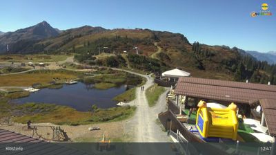
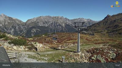
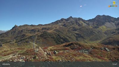
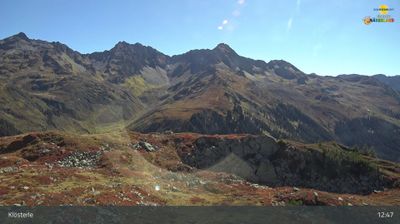


Gemeinde Dalaas combines the close-knit life of an Alpine valley with the rugged scale of steep, forested slopes, reflecting its position in Vorarlberg’s Klostertal. The Alfenz flows along the valley, part of the historic route between Bludenz and the Arlberg Pass. The Arlberg Railway, opened in 1884, runs through Klostertal and helped connect western Austria with Tirol. Dalaas includes Wald am Arlberg, home to the Sonnenkopf cable car and its winter-sports and hiking terrain. Find related webcams in the surrounding Klostertal and Arlberg area to build a fuller picture of this part of Vorarlberg.
6 webcams
Built around Alpine valley routes and the Rhine corridor, Vorarlberg grew into Austria’s westernmost federal state, where the Alps meet the shores of Lake Constance. The Rhine forms much of its border with Switzerland, while the Bregenzerwald, Arlberg and Montafon give the region a strongly mountainous character. Bregenz, on Lake Constance, is known internationally for the Bregenz Festival and its lakeside floating stage. Compact towns, timber architecture and a long textile-manufacturing tradition reflect a region linked closely to neighbouring Switzerland, Germany and Liechtenstein. Find related webcams in the surrounding area to build a fuller picture of Vorarlberg.
274 webcams
Austria stretches from the Bohemian Massif along its northern edge to the Carnic Alps on the Italian border, encompassing high Alpine ranges and the Danube lowlands. The Danube links cities including Linz and Vienna, while the Grossglockner, at 3,798 metres, is the country’s highest mountain. Vienna developed for centuries as the seat of the Habsburg court, leaving imperial architecture around the Hofburg and Schönbrunn Palace. Salzburg is closely associated with Wolfgang Amadeus Mozart, who was born there in 1756. Alpine Tyrol, wine-growing areas east of Vienna and the lakes of Salzkammergut add markedly different regional identities. Browse other webcams across Austria to place this setting in a wider geographic context.
3.1K webcams