 Markham: Highway 404 at Major Mackenzie Drive
Markham sits along the Rouge River in Ontario, where suburban neighbourhoods, employment districts and major roads meet the rural fringe north of Toronto. The Highway 404–Major Mackenzie Drive interchange forms part of York Region’s fast-growing urban corridor. Highway 404 is a provincial freeway running north from Toronto, while Major Mackenzie Drive crosses communities to the east and west. Markham is closely associated with its large Chinese Canadian community, reflected in its restaurants, shops and cultural life. Farther south, Unionville preserves a historic Main Street and the parkland around Toogood Pond, recalling the area’s earlier village settlement. This mix of heritage districts and new development gives Markham a distinctly metropolitan character.
Generated by AI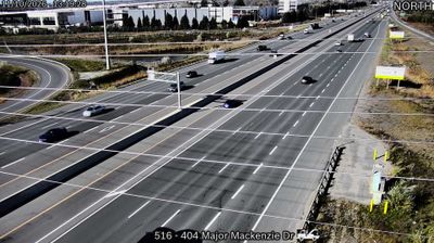
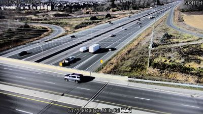
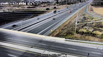




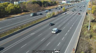

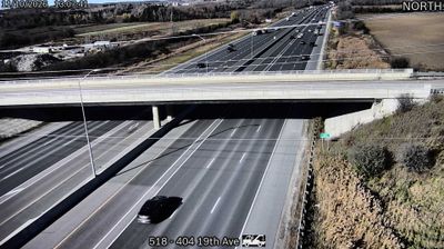

Markham is best known within Ontario for its major concentration of technology companies and its exceptionally diverse population. Located north of Toronto in York Region, the city developed from farming communities and now combines suburban neighbourhoods with business districts serving the Greater Toronto Area. The Rouge River watershed runs through Markham, linking local parks and wetlands to the wider Rouge National Urban Park system. Historic Unionville preserves a 19th-century Main Street, while Markham Museum documents the area’s rural and industrial past. Continue with other webcams from the area to see how this part of York Region connects regionally.
8 webcams
Built around the Great Lakes–St. Lawrence water system, Ontario grew into Canada’s most populous province. Its vast northern interior lies on the Canadian Shield, a terrain of exposed rock, boreal forest and innumerable lakes, while the south concentrates most cities and farms along the Great Lakes. Lake Superior, Lake Huron, Lake Erie and Lake Ontario give the province an exceptional freshwater horizon; Niagara Falls is its best-known natural landmark. Toronto, Ontario’s largest city, is a major cultural and economic centre, while Algonquin Provincial Park, founded in 1893, represents a long tradition of protected wilderness. Move on to other webcams in the region to compare landscapes and settings around Ontario.
1.6K webcams
Canada has served as a frontier between French and British colonial powers since the 17th century. The world’s second-largest country extends from Atlantic shores to the Pacific and Arctic coasts, with the Canadian Shield, the Rocky Mountains, the Great Lakes and the St. Lawrence River shaping its vast geography. First Nations, Inuit and Métis peoples are central to Canada’s identity, while Ottawa’s Parliament Hill represents its federal political life. French remains the official language of Quebec, adding a distinct dimension to the country’s public culture. See how Canada connects across North America by browsing webcams in neighbouring regions.
3.5K webcams