 Pogok
Yongin has served as a county seat in Gyeonggi Province since the Joseon period. The city now forms a broad urban belt south of Seoul, where major roads and rail links thread between built-up districts and wooded hills. This part of Yongin lies near the upper Tan Stream, a tributary in the Han River system, and within reach of Gwanggyo Mountain’s forested ridges. Yongin is widely associated with large leisure parks, including Everland in Pogok-eup, yet the Korean Folk Village preserves another side of the region through traditional houses, workshops and performances. Its mix of expanding residential areas, transport corridors and upland terrain reflects the changing edge of the Seoul metropolitan area.
Generated by AI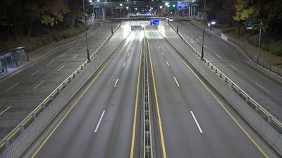
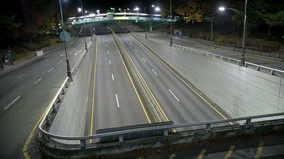

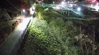
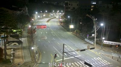
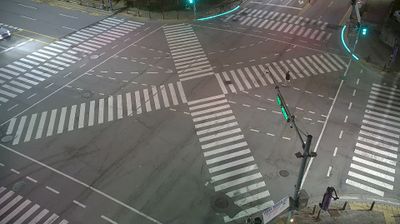
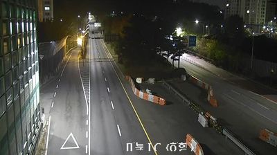
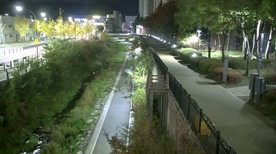
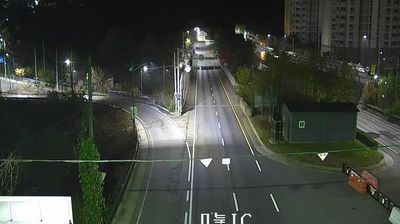


Gyeongan Stream defines the setting of Pogok-eup — its shallow valley and wooded Gyeonggi-do hills have concentrated homes, roads and cultivation on gentler ground. This township in Yongin’s Cheoin-gu lies southeast of Seoul, where suburban growth meets a more rural interior. Pogok-eup is closely associated with Everland, the large leisure resort that began in 1976 as Yongin Farmland; its theme park and Caribbean Bay water park make the district familiar to Korean families. Beyond the resort, local roads pass smaller settlements and farm fields, a quieter counterpoint to metropolitan Seoul. Explore nearby webcam locations that provide complementary perspectives on Yongin and Gyeonggi-do.
6 webcams
Gyeonggi-do stretches from the Yellow Sea coast to the border with North Korea, encompassing the Han River basin, broad western lowlands and wooded eastern hills. It surrounds Seoul on most sides and is South Korea’s most populous province, where satellite cities, farmland and industrial districts lie close together. The Han River and its tributaries have long linked this area to the capital region. In Suwon, Hwaseong Fortress, built for King Jeongjo in the late 18th century, is a UNESCO World Heritage site and a lasting monument to Joseon-era statecraft. Beyond the urban core, the province includes coastal islands, reservoirs and mountain parks. View additional webcams nearby to better understand how Gyeonggi-do relates to Seoul, the Yellow Sea coast and the northern frontier.
40 webcams
South Korea stretches from the mountainous border with North Korea to Jeju Island, encompassing forested ranges, fertile river basins and a deeply indented southern coast. The Taebaek Mountains run along much of the east, while the Han River crosses Seoul before reaching the Yellow Sea. Busan faces the Korea Strait, and tidal flats and islands shape the country’s western shore. Seoul combines dense contemporary districts with royal Joseon sites, including Gyeongbokgung Palace, first built in 1395. Kimchi and bibimbap are central to everyday cuisine, while the Korean alphabet, Hangeul, was created in the 15th century. Find related webcams in the surrounding area to build a fuller picture of South Korea’s coasts, mountains and cities.
163 webcams