 Brassar: Highway 17 near Trunk Road, Looking East
Built around the Highway 17 corridor, Brassar developed as a dispersed roadside locality in Ontario’s Algoma District. The route runs through Canadian Shield country north of the St. Marys River, where mixed forest and exposed bedrock shape the settled landscape. Highway 17 is part of the Trans-Canada Highway system, the national road network linking communities across the country. This section connects the Sault Ste. Marie area with smaller settlements eastward along the river and toward the North Channel of Lake Huron. Brassar reflects the practical, low-density character of northern Ontario road travel rather than an urban centre.
Generated by AI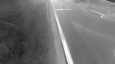
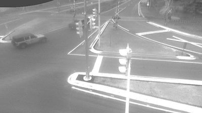
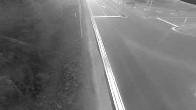

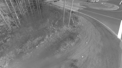
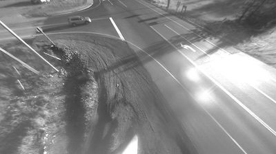
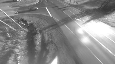
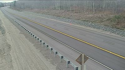

The St. Marys River defines the setting of Brassar on Sugar Island — its channels and wooded shores make water travel and ferry crossings part of everyday local geography. This small Upper Peninsula community lies east of Sault Ste. Marie, in the river corridor that carries water from Lake Superior toward Lake Huron. The Sugar Island Ferry connects the island with the mainland, an essential local service that gives the area its distinct island rhythm. Browse additional webcams from the St. Marys River area to extend your view of Michigan’s eastern Upper Peninsula.
3 webcams
Michigan has served as a Great Lakes frontier within the United States since the early 19th century. It spans two peninsulas, separated by the Straits of Mackinac, and touches Lakes Superior, Michigan, Huron and Erie. The Mackinac Bridge, opened in 1957, links the Upper and Lower Peninsulas. Around the central Lower Peninsula, farmland and woodland give way to river valleys and smaller cities; farther north, shorelines and forests set the pace. Detroit’s factories placed Michigan at the centre of the American automobile industry, a legacy still reflected in its museums, engineering and sporting culture. Explore nearby webcam locations that provide complementary perspectives on Michigan’s Great Lakes coasts and inland communities.
82 webcams
The Atlantic, Pacific and Gulf coasts define much of the United States — their ports, fisheries and trade routes have long tied the country’s economy to the wider world. Between them, the Rocky Mountains, Great Plains and Mississippi River basin form sharply different regions, from high western ranges to broad agricultural heartlands. Cities carry much of the national story: New York’s Statue of Liberty, a gift from France dedicated in 1886, remains an enduring symbol, while Washington, DC concentrates major federal institutions. Indigenous nations have shaped these lands for millennia, and their living cultures remain essential to the country’s identity. Find related webcams in the surrounding areas to build a fuller picture of the United States.
32K webcams