 Bloomfield: Highway 62 near Highway 33, Looking East
The Allen Road–Highway 401 interchange is best known within Toronto for joining the city’s north–south Allen Road to Ontario’s principal east–west freeway. This layered junction lies in northwest Toronto, a low-rise, infrastructure-heavy part of the metropolis shaped by major road and rail corridors. Highway 401 runs across southern Ontario and is a defining transport route for the Greater Toronto Area, while Allen Road ends here after running north from Eglinton Avenue West. Its route preserves the northern section of the unbuilt Spadina Expressway, whose cancellation in the early 1970s became a turning point in Toronto’s planning debate. Lake Ontario, on the city’s southern edge, has long framed Toronto’s growth and regional connections.
Generated by AI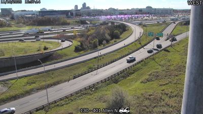










Bloomfield lies along the historic Loyalist Parkway in Prince Edward County, where gently rolling farmland stretches between the Bay of Quinte and Lake Ontario. This compact Ontario community is part of a county known for vineyards, farm produce, and an active food-and-arts scene. Its Main Street retains a low-rise nineteenth-century character, with independent shops, galleries, and restaurants in older commercial buildings. Bloomfield is also a useful stop when exploring rural county roads and the Lake Ontario shoreline; Sandbanks Provincial Park, on the county’s southern edge, is known for its extensive sand dunes and beaches. Explore nearby webcam locations that provide complementary perspectives on Prince Edward County.
3 webcams
Built around the Great Lakes–St. Lawrence water system, Ontario grew into Canada’s most populous province. Its vast northern interior lies on the Canadian Shield, a terrain of exposed rock, boreal forest and innumerable lakes, while the south concentrates most cities and farms along the Great Lakes. Lake Superior, Lake Huron, Lake Erie and Lake Ontario give the province an exceptional freshwater horizon; Niagara Falls is its best-known natural landmark. Toronto, Ontario’s largest city, is a major cultural and economic centre, while Algonquin Provincial Park, founded in 1893, represents a long tradition of protected wilderness. Move on to other webcams in the region to compare landscapes and settings around Ontario.
1.6K webcams
Canada has served as a frontier between French and British colonial powers since the 17th century. The world’s second-largest country extends from Atlantic shores to the Pacific and Arctic coasts, with the Canadian Shield, the Rocky Mountains, the Great Lakes and the St. Lawrence River shaping its vast geography. First Nations, Inuit and Métis peoples are central to Canada’s identity, while Ottawa’s Parliament Hill represents its federal political life. French remains the official language of Quebec, adding a distinct dimension to the country’s public culture. See how Canada connects across North America by browsing webcams in neighbouring regions.
3.5K webcams