 The Blue Mountains: Highway 26 at Grey Road 19, Looking West
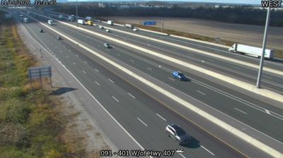
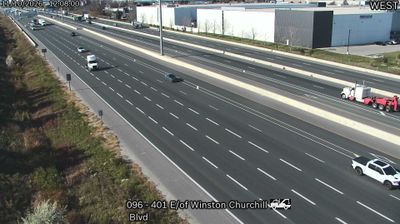
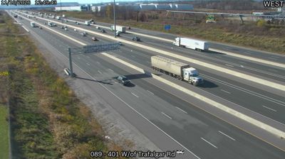
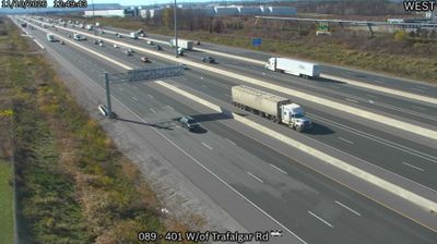
Tucked along the western edge of the Greater Toronto Area, Highway 407 is a route whose character is shaped by suburban expansion and heavy regional traffic. Near the Brampton–Mississauga boundary in Peel Region, its divided lanes and interchanges sit beside a mix of open land, commercial development and low-rise neighbourhoods. Ontario’s Highway 407 began operating in 1997 as an electronically tolled route, without conventional toll booths. It has become a key east–west link in the metropolitan road network, carrying commuters and freight across the outer Toronto suburbs. Here, the scale of the corridor reflects the continuing transformation of formerly rural land on the GTA’s western fringe.
Generated by AI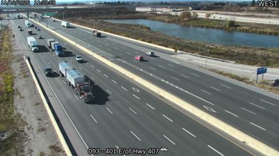






The Blue Mountains is best known within Ontario for Blue Mountain Resort, a four-season destination on the Niagara Escarpment. The town occupies the southern shore of Georgian Bay, where wooded escarpment slopes meet orchard country; Thornbury is one of its principal communities. Skiing and snowboarding define the winter season, while hiking, cycling and the bayfront take focus in warmer months. The Bruce Trail follows the escarpment through this part of Ontario. Apple growing remains an important local tradition and is celebrated each autumn at the Blue Mountains Apple Harvest Festival. See how The Blue Mountains fits within Southern Georgian Bay by browsing webcams nearby.
7 webcams
Built around the Great Lakes–St. Lawrence water system, Ontario grew into Canada’s most populous province. Its vast northern interior lies on the Canadian Shield, a terrain of exposed rock, boreal forest and innumerable lakes, while the south concentrates most cities and farms along the Great Lakes. Lake Superior, Lake Huron, Lake Erie and Lake Ontario give the province an exceptional freshwater horizon; Niagara Falls is its best-known natural landmark. Toronto, Ontario’s largest city, is a major cultural and economic centre, while Algonquin Provincial Park, founded in 1893, represents a long tradition of protected wilderness. Move on to other webcams in the region to compare landscapes and settings around Ontario.
1.6K webcams
Canada has served as a frontier between French and British colonial powers since the 17th century. The world’s second-largest country extends from Atlantic shores to the Pacific and Arctic coasts, with the Canadian Shield, the Rocky Mountains, the Great Lakes and the St. Lawrence River shaping its vast geography. First Nations, Inuit and Métis peoples are central to Canada’s identity, while Ottawa’s Parliament Hill represents its federal political life. French remains the official language of Quebec, adding a distinct dimension to the country’s public culture. See how Canada connects across North America by browsing webcams in neighbouring regions.
3.5K webcams