 West Nipissing: Highway 17 at Sturgeon River Bridge, Looking West
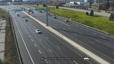
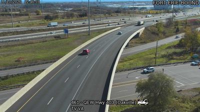
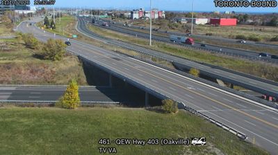
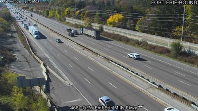
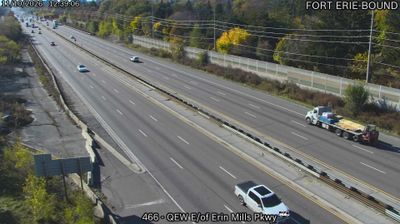
Mississauga lies along the northwestern shore of Lake Ontario, where a dense suburban cityscape spreads inland from the waterfront through parks, business districts and established neighbourhoods. The Queen Elizabeth Way is one of southern Ontario’s principal expressways, running through the city on the Toronto–Hamilton–Niagara corridor; Erin Mills Parkway is a key north–south connection to western Mississauga. Although Mississauga grew rapidly after the Second World War, the area sits within the traditional territory of the Mississaugas of the Credit First Nation, an Anishinaabe people whose name the city carries. The Credit River reaches Lake Ontario at Port Credit, one of the city’s historic lakeshore communities.
Generated by AI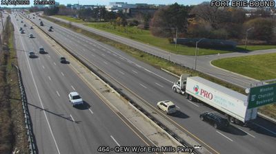



West Nipissing’s landscape is a mosaic of Canadian Shield woodland, wetlands and the Lake Nipissing shoreline, which has shaped both its dispersed settlement pattern and an economy connected with forestry, services and recreation. The Sturgeon River runs through Sturgeon Falls, the municipality’s principal community, before entering Lake Nipissing; the falls gave the town its name. Created in 1999 by joining Sturgeon Falls with several surrounding townships and communities, West Nipissing brings together rural Ontario settlements with a strong French-speaking presence. Lake Nipissing supports boating and fishing, while the surrounding forests establish a distinctly northern Ontario setting. Browse additional webcams nearby to understand how West Nipissing relates to Lake Nipissing and the Canadian Shield.
5 webcams
Built around the Great Lakes–St. Lawrence water system, Ontario grew into Canada’s most populous province. Its vast northern interior lies on the Canadian Shield, a terrain of exposed rock, boreal forest and innumerable lakes, while the south concentrates most cities and farms along the Great Lakes. Lake Superior, Lake Huron, Lake Erie and Lake Ontario give the province an exceptional freshwater horizon; Niagara Falls is its best-known natural landmark. Toronto, Ontario’s largest city, is a major cultural and economic centre, while Algonquin Provincial Park, founded in 1893, represents a long tradition of protected wilderness. Move on to other webcams in the region to compare landscapes and settings around Ontario.
1.6K webcams
Canada has served as a frontier between French and British colonial powers since the 17th century. The world’s second-largest country extends from Atlantic shores to the Pacific and Arctic coasts, with the Canadian Shield, the Rocky Mountains, the Great Lakes and the St. Lawrence River shaping its vast geography. First Nations, Inuit and Métis peoples are central to Canada’s identity, while Ottawa’s Parliament Hill represents its federal political life. French remains the official language of Quebec, adding a distinct dimension to the country’s public culture. See how Canada connects across North America by browsing webcams in neighbouring regions.
3.5K webcams