 Kitchener: Highway 8 at Highway 7, Looking West
The landscape around the Highway 17 approach to Elliot Lake is a rocky Canadian Shield corridor of mixed forest and small lakes, which has shaped both the built environment and local life. This part of Algoma District lies north of Lake Huron’s North Channel, where major roads connect widely spaced communities across woodland and exposed bedrock. Elliot Lake developed rapidly after uranium was discovered nearby in 1953, becoming one of Canada’s leading uranium-mining centres in the following decades. That industrial legacy remains central to the town’s identity, while the surrounding lake country supports outdoor recreation and links with northeastern Ontario.
Generated by AI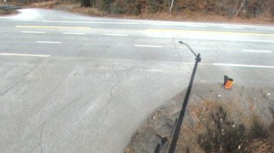
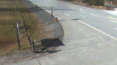
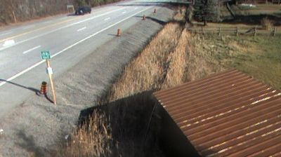
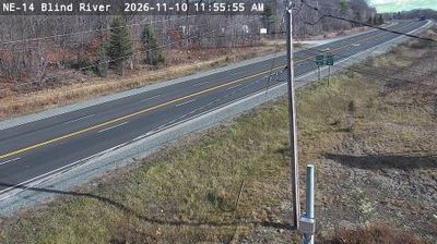
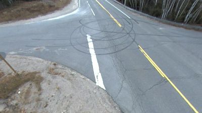


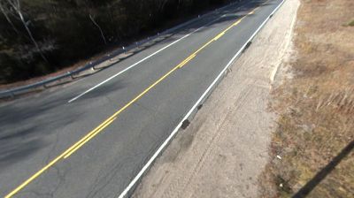
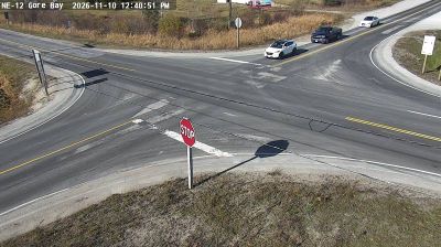

Kitchener sits in the Grand River watershed in southwestern Ontario, Canada, where a dense urban centre extends across the uplands west of the river. Together with neighbouring Waterloo and Cambridge, it forms the core of Waterloo Region, an important university and technology centre. The city was known as Berlin until 1916, reflecting the influence of German-speaking Mennonite communities on its early settlement. That heritage is celebrated each autumn through the Kitchener-Waterloo Oktoberfest, Canada’s largest Bavarian festival. Downtown’s Kitchener City Hall and nearby Victoria Park provide a civic focus, while trails and green corridors follow local creeks within the wider Grand River basin. Move on to other webcams in Ontario to compare landscapes and settings around Waterloo Region.
7 webcams
Built around the Great Lakes–St. Lawrence water system, Ontario grew into Canada’s most populous province. Its vast northern interior lies on the Canadian Shield, a terrain of exposed rock, boreal forest and innumerable lakes, while the south concentrates most cities and farms along the Great Lakes. Lake Superior, Lake Huron, Lake Erie and Lake Ontario give the province an exceptional freshwater horizon; Niagara Falls is its best-known natural landmark. Toronto, Ontario’s largest city, is a major cultural and economic centre, while Algonquin Provincial Park, founded in 1893, represents a long tradition of protected wilderness. Move on to other webcams in the region to compare landscapes and settings around Ontario.
1.6K webcams
Canada has served as a frontier between French and British colonial powers since the 17th century. The world’s second-largest country extends from Atlantic shores to the Pacific and Arctic coasts, with the Canadian Shield, the Rocky Mountains, the Great Lakes and the St. Lawrence River shaping its vast geography. First Nations, Inuit and Métis peoples are central to Canada’s identity, while Ottawa’s Parliament Hill represents its federal political life. French remains the official language of Quebec, adding a distinct dimension to the country’s public culture. See how Canada connects across North America by browsing webcams in neighbouring regions.
3.5K webcams