 Harestua
 sits beside Lake Harestuvatnet in Norway, where the settlement occupies the northern edge of Nordmarka’s forest country. Part of Lunner municipality, it lies on the Gjøvik Line, the railway connecting Oslo with Gjøvik. Forest defines this inland district, whose homes and local services are dispersed among lakes and woodland rather than concentrated in an urban core. Harestua is also associated with the Harestua Solar Observatory, established in 1954 for solar research. The observatory brought scientific work to a rural setting north of the capital and remains a distinctive part of the locality’s story. The terrain is typical of the broad forest belt north of Oslo.
Generated by AI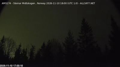

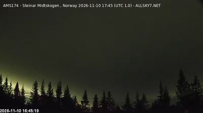

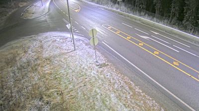
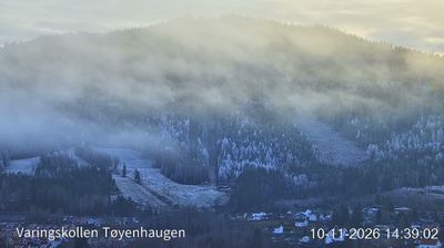
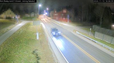


Harestua has served as a railway settlement in the Hadeland district since the early 20th century. In Lunner municipality, it stands beside Lake Harestuvatnet, where settled farmland gives way to the dense forests on the northern edge of Nordmarka. The Gjøvik Line runs through the community, linking it by rail with Oslo and Gjøvik and helping define its practical role in this inland part of eastern Norway. Harestua’s identity is rooted less in grand monuments than in the enduring relationship between lake, woodland and railway. Continue with other webcams from Hadeland to see how this part of eastern Norway connects regionally.
5 webcams
The terrain of Akershus ranges from cultivated lowlands beside the Oslofjord in the west to forested hills and river valleys in the east and north, giving the county both coastal and inland character. Encircling much of Oslo, it links the capital with farmland, woodland and growing towns. The Glomma, Norway’s longest river, runs along parts of Akershus’s eastern side. At Eidsvoll, the Norwegian Constitution was adopted in 1814, a defining moment in the country’s modern history. Explore nearby webcam locations that provide complementary perspectives on Akershus.
56 webcams
Norway has served as a seafaring link between the North Atlantic and northern Europe since the Viking Age. Its long coastline is cut by fjords, while the Lofoten archipelago rises sharply from the Norwegian Sea and the mountains of Jotunheimen include Galdhøpiggen, Norway’s highest peak. Bergen’s Bryggen, the former Hanseatic wharf, recalls centuries of maritime trade. Farther north, Sámi culture remains an essential part of the country’s identity. Explore nearby webcam locations that provide complementary perspectives on Norway’s coast, fjords and mountain regions.
1.5K webcams