 Svolvær: Geitgallien - Higravstinden
The mountains of Austvågøya define the setting of Svolvær — steep granite ridges give this Lofoten town an emphatically alpine yet maritime character. Higravstinden, at 1,146 metres, is the highest mountain in the Lofoten Islands, while Geitgallien forms part of the rugged high ground on Austvågøya. The town spreads across islands and the shore of Vestfjorden, serving as the administrative centre of Vågan Municipality. Fishing has shaped Svolvær for generations; its harbour remains closely tied to the Lofoten cod fishery. Here, working waterfronts, island streets and severe mountain terrain belong to the same local geography.
Generated by AI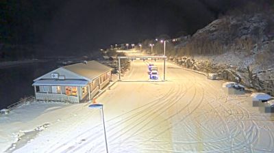


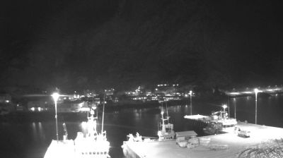

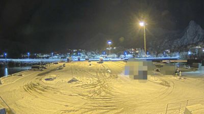


Among the towns of Nordland, Svolvær stands out for its harbour set among the islands of Lofoten. The town lies on Austvågøya, facing Vestfjorden, with sea routes and fishing long central to local life. Above the streets rises Svolværgeita, a distinctive twin-horned rock formation and a familiar challenge for climbers. Svolvær is also the administrative centre of Vågan municipality, while the Lofoten War Memorial Museum preserves material relating to the Second World War in the region. During the winter fishing season, boats and drying racks recall the continuing importance of Arctic cod. Continue through nearby webcams to explore different parts of the Lofoten Islands.
4 webcams
Nordland’s terrain shifts from an island-studded Atlantic coast in the west to mountains and inland plateaus near Sweden in the east, creating a long county of fjords, waterways and widely spaced communities. Bodø, just north of the Arctic Circle, is its principal city and was a European Capital of Culture in 2024. Nearby Saltstraumen is famed for its powerful tidal current, while the Vestfjorden separates the mainland from the dramatic Lofoten archipelago. Farther south, Svartisen adds glacier country to a region also shaped by enduring Sámi cultural traditions. Browse additional webcams from around Nordland to extend your view of Norway’s Arctic coast.
202 webcams
Norway has served as a seafaring link between the North Atlantic and northern Europe since the Viking Age. Its long coastline is cut by fjords, while the Lofoten archipelago rises sharply from the Norwegian Sea and the mountains of Jotunheimen include Galdhøpiggen, Norway’s highest peak. Bergen’s Bryggen, the former Hanseatic wharf, recalls centuries of maritime trade. Farther north, Sámi culture remains an essential part of the country’s identity. Explore nearby webcam locations that provide complementary perspectives on Norway’s coast, fjords and mountain regions.
1.5K webcams