 Vysokov
 combines broad working farmland with the memory of a 19th-century battle in a way that reflects its position on the rolling uplands west of Náchod. The village lies in north-eastern Czechia, where open fields are broken by belts of woodland and the nearby Metuje valley. On 27 June 1866, fighting in the Battle of Náchod reached the area around Vysokov during the Austro-Prussian War. The conflict is recalled by local battlefield monuments, while agriculture continues to give the settlement and its surroundings a spacious, open character. Náchod, with its castle above the town, is the principal urban centre nearby.
Generated by AI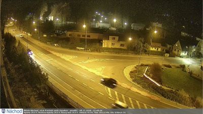
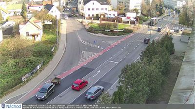
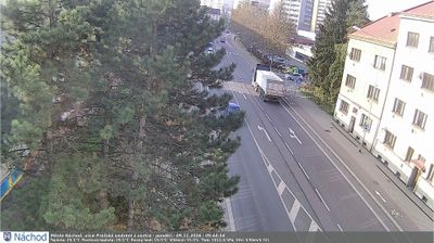
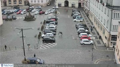
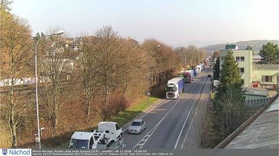

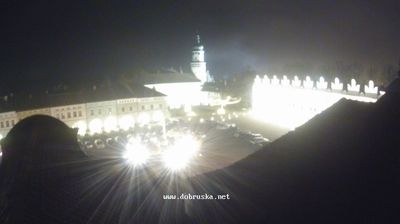

Tucked into the rolling foothills of the Orlické Mountains, Vysokov is a place whose character is shaped by an elevated rural setting near Náchod. Fields, small woods and open slopes place it within the Czech borderland landscape, not far from Poland. The village is closely associated with the Battle of Náchod, fought on 27 June 1866 during the Austro-Prussian War; the surrounding countryside preserves the memory of a conflict that reshaped Central Europe. Vysokov provides a quiet contrast to nearby Náchod, where the castle stands above the historic town centre. Move on to other webcams in the region to compare landscapes and settings around Náchod and the Orlické Mountains.
1 webcam
The Krkonoše Mountains and the upper Elbe define much of Královéhradecký kraj - mountain resorts and winter sports have long supported its tourism economy. On the Polish border, Sněžka reaches 1,603 metres, making it Czechia’s highest mountain, and stands within Krkonoše National Park. The Elbe rises in these mountains before flowing through the region’s lower country. Hradec Králové, the regional capital, combines a historic core with notable early-20th-century architecture linked to Josef Gočár and Jan Kotěra. Farther east, the sandstone formations of the Adršpach–Teplice Rocks introduce a sharply different terrain. View additional webcams nearby to better understand how Královéhradecký kraj connects its mountain borderlands with the Elbe lowlands.
137 webcams
The terrain of Czechia ranges from fertile lowlands in southern Moravia to mountain ridges along the northern frontier, giving this Central European country a distinctly varied geography. The Vltava runs through Prague before joining the Elbe, while the Krkonoše form part of the border with Poland and include Sněžka, Czechia’s highest mountain. Prague’s historic centre, with Prague Castle and Charles Bridge, reflects the city’s long role as a political and cultural centre. Beyond the capital, Bohemia is known for spa towns and brewing, and Moravia for wine-growing traditions. View additional webcams nearby to better understand how Czechia relates to its Central European surroundings.
1.4K webcams