 Martigues: Club Nautique de Carro
Among the places of Provence-Alpes-Côte d’Azur, Carro stands out for its position at the western end of the Côte Bleue on the Mediterranean Sea. Carro is part of Martigues, whose centre occupies channels linking the Étang de Berre with the sea. This stretch of coast is defined by low limestone shelves, small coves and an open shoreline rather than the dense waterfront of nearby Marseille. The Club Nautique de Carro belongs to a maritime setting shaped by the harbour and a long local fishing tradition. Carro lies on the Côte Bleue, the coastal belt west of Marseille, where walking routes follow coves and headlands. Its seafront setting provides a quieter counterpoint to Provence’s larger ports.
Generated by AI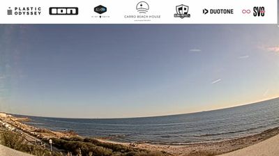

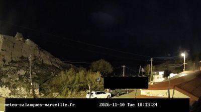
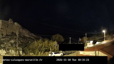

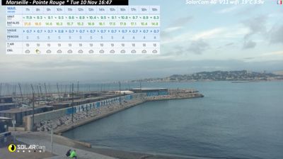
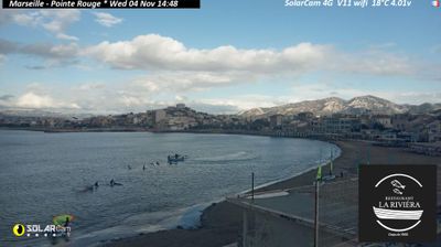

Martigues occupies the shores and channels between the Étang de Berre lagoon and the Mediterranean coast in Provence-Alpes-Côte d’Azur. The Canal de Caronte crosses the town, linking the lagoon to the sea and separating the historic quarters of Ferrières, l’Île and Jonquières. Often called the “Venice of Provence”, Martigues has long been shaped by fishing, boating and the working waters of the lagoon. Near the canal’s seaward entrance, Fort de Bouc stands on an islet by the Golfe de Fos, recalling the strategic importance of this waterway. Find related webcams in the surrounding area to build a fuller picture of the Étang de Berre and the Provençal coast.
3 webcams
Provence-Alpes-Côte d’Azur occupies France’s southeastern Mediterranean coast and Alpine borderlands. Its terrain runs from the Rhône delta and the Camargue wetlands to the limestone coves of the Calanques and the high valleys of the French Alps, while the Côte d’Azur forms its celebrated shoreline. Marseille, France’s oldest city, is a major port, and Avignon’s Palais des Papes recalls the 14th-century papal court. Inland, Provençal markets, olive cultivation and lavender-growing areas remain central to regional identity. Browse additional webcams nearby to see how Provence-Alpes-Côte d’Azur connects with the Mediterranean, the Alps and neighbouring Italy.
270 webcams
The Atlantic and Mediterranean coastlines, together with the Alps, Pyrenees and broad river basins, define much of France — they support maritime trade, farming, wine regions and travel throughout the year. The Seine runs through Paris, where the Eiffel Tower and the Louvre are among Europe’s most recognised landmarks. The Loire Valley is known for Renaissance châteaux, while Mont-Saint-Michel rises from a tidal bay in Normandy. Regional food traditions are equally distinctive, from Breton seafood to Provençal cooking, with bread, cheese and wine central to everyday life. France’s global cultural influence is evident in its language, literature, fashion and cinema. View additional webcams nearby to better understand how France’s coasts, plains and mountain borders relate to their surroundings.
2.2K webcams