 Ome: 柚木の川原(山崎川原)
The landscape around Yugi no Kawara (Yamasaki Riverbank) is a wooded Tama River corridor with broad gravel banks, which has shaped both the built environment and local life. Set in western Ōme, it belongs to the river country at the foot of the Okutama Mountains, where the Tama cuts through Tokyo’s western edge. The open riverbed is used for informal riverside recreation, while forested slopes rise from the opposite bank. Ōme developed along the historic Ōme Kaidō route, which connected this area with Edo, and its central districts still retain streetscapes associated with that long-established road town. This riverbank introduces a quieter side of metropolitan Tokyo, where water, woodland and settlement meet.
Generated by AI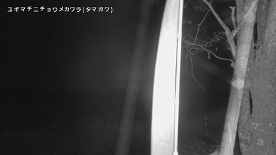
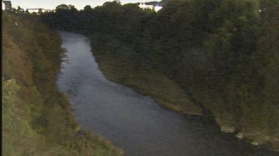




The terrain around Ome is shaped by the Tama River and the wooded foothills of the Okutama Mountains, which have influenced both its low-rise settlement pattern and a local economy linked to recreation and traditional crafts. Though administratively part of Tokyo, the city marks a clear transition from the metropolis to the western uplands. Mount Mitake, within Ome’s boundaries, is crowned by Musashi Mitake Shrine, a long-standing centre of mountain worship with walking routes in its surroundings. Ome-jima, a patterned cotton textile, reflects the area’s craft heritage. Browse other webcams across western Tokyo and the Okutama area to place this river valley in a wider geographic context.
6 webcams
Tokyo stretches from the Okutama Mountains to the Izu and Ogasawara island groups, encompassing urban lowlands, forested uplands and volcanic Pacific islands. These coordinates fall on Izu Oshima, the largest of the Izu Islands, where Mount Mihara forms the island’s volcanic core. Black-sand shores and lava terrain contrast with the capital’s built-up centre, showing how far Tokyo’s administrative territory reaches into the ocean. Izu Oshima is closely associated with camellias, and Oshima Tsubaki oil remains a recognised local product. Ferry links from the mainland make the island part of Tokyo’s wider maritime setting. See how Tokyo connects mainland Japan with its Pacific islands by browsing webcams nearby.
222 webcams
Among the countries of East Asia, Japan stands out for its volcanic archipelago, stretching from the cool north of Hokkaido to subtropical Okinawa. Mount Fuji, the nation’s highest mountain, rises above central Honshu, while the Pacific Ocean and the Seto Inland Sea have long shaped settlement, fishing and travel. Tokyo pairs dense urban life with major museums and neighbourhood traditions; Kyoto preserves temples, gardens and the legacy of Japan’s imperial court. Seasonal customs give journeys a changing rhythm, from spring cherry blossom viewing to autumn leaves. Regional cooking is equally varied, with sushi, ramen and local specialties reflecting coastlines, climate and agriculture. Explore nearby webcam locations that provide complementary perspectives on Japan’s islands, cities and mountain regions.
1.3K webcams