 Zalaegerszeg: Bozsokihegy: Zalaegerszeg, Csácsi Arborétum -> Zalaegerszeg
Zalaegerszeg sits along the Zala River in western Hungary, where the rolling terrain of Transdanubia shapes the city’s edge and its links with the surrounding countryside. As the administrative centre of Zala County, it serves a wider region through its public institutions, schools and services. Local identity is closely tied to Göcsej, an ethnographic area known for dispersed settlements and traditions of timber construction. The Göcsej Village Museum preserves this heritage in an open-air setting. Public buildings from the late 19th and early 20th centuries define parts of the centre, while the ZalaZONE automotive proving ground reflects the city’s more recent role in vehicle research and testing.
Generated by AI
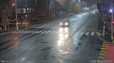

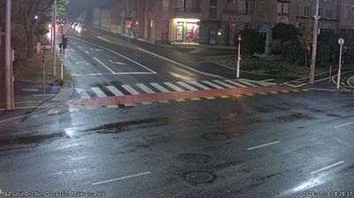
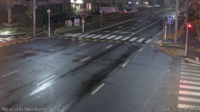



The Zala River defines the setting of Zalaegerszeg — its valley has helped shape this regional centre amid the rolling, wooded countryside of western Hungary. As the seat of Zala County, the city serves as an administrative and commercial focus for the surrounding Göcsej region. The Göcsej Village Museum presents traditional rural buildings and everyday architecture from this distinctive corner of Transdanubia, adding a tangible link to local life before modern urban growth. Zalaegerszeg is also a practical base for exploring Hungary’s far west, close to the Slovenian and Austrian borders. See how Zalaegerszeg fits into western Hungary by browsing webcams from nearby Transdanubian towns.
6 webcams
Built around the lands west of the Danube, Transdanubia grew into Hungary’s broad western historical region. This location lies on Lake Balaton’s northern shore near Balatonfüred, where the Balaton Uplands rise behind the water in a mosaic of vineyards, basalt hills and small settlements. Lake Balaton, Central Europe’s largest lake, has long shaped local recreation, agriculture and summer life. Across the bay, the Tihany Peninsula is marked by its Benedictine Abbey, founded in 1055 and associated with one of Hungary’s earliest surviving written records. Continue with other webcams from the area to see how this part of western Hungary connects regionally.
304 webcams
Hungary combines a long urban tradition with expansive lowland horizons in a way that reflects its position within the Carpathian Basin. The Danube runs through Budapest, separating the hills of Buda from the grand boulevards of Pest, where the Hungarian Parliament Building stands on the riverbank. Beyond the capital, the Great Hungarian Plain shapes much of the east, while Lake Balaton, Central Europe’s largest lake, draws summer visitors to its shores. Thermal bathing remains part of everyday life, and the Tokaj region is internationally known for its historic sweet wines. Explore nearby webcam locations that provide complementary perspectives on Hungary.
743 webcams