 Meadow Lake: Meadow Lake Airport
Meadow Lake has served as a regional service centre in northwestern Saskatchewan since the early 20th century. Meadow Lake Airport lies in open agricultural country west of the city, at the meeting point of prairie farmland and the northern forest belt. Identified by the code CYLJ, it provides an aviation link for Meadow Lake and surrounding communities across this sparsely settled part of the province. The city takes its name from nearby Meadow Lake, while local life reflects the wider economy of forestry, farming and regional services. Broad, level ground gives the area a northern-Prairie character, with long horizons and a low-built urban edge rather than a dense metropolitan skyline.
Generated by AI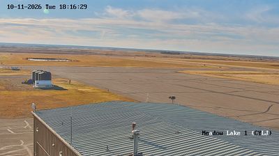
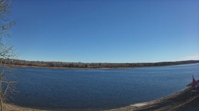

Built around a railway terminus, Meadow Lake grew into a regional service centre for northwestern Saskatchewan. The city stands where cultivated farmland gives way to boreal forest, a transition that still shapes the surrounding economy and way of life. Meadow Lake Provincial Park lies to the north, encompassing forest and lakes that support boating, fishing and camping across the wider area. Rail development helped establish the modern community, while forestry and agriculture remain important to the region. Continue through nearby webcams to explore different parts of northwestern Saskatchewan.
2 webcams
Saskatchewan stretches from the United States border to the 60th parallel at the Northwest Territories, encompassing southern grain-growing plains and the boreal forest and Canadian Shield of the north. The South Saskatchewan River crosses the settled south, including Saskatoon, while the Churchill River runs through a northern country of lakes, rock and conifers. Regina, the provincial capital, is home to the Saskatchewan Legislative Building, completed in 1912. First Nations and Métis communities remain central to the province’s identity; Cree, Dene, Saulteaux and Métis traditions reflect both prairie and northern cultures. Move on to other webcams in the region to compare landscapes and settings around Saskatchewan.
62 webcams
Canada has served as a frontier between French and British colonial powers since the 17th century. The world’s second-largest country extends from Atlantic shores to the Pacific and Arctic coasts, with the Canadian Shield, the Rocky Mountains, the Great Lakes and the St. Lawrence River shaping its vast geography. First Nations, Inuit and Métis peoples are central to Canada’s identity, while Ottawa’s Parliament Hill represents its federal political life. French remains the official language of Quebec, adding a distinct dimension to the country’s public culture. See how Canada connects across North America by browsing webcams in neighbouring regions.
3.5K webcams